







OCT 17 | 10:00 PM

Bring your auction to collectors worldwide!
Get listed nowBy subscribing, you are agreeing to the privacy policy. Unsubscribe anytime.
Barnebys HQ
Brahegatan 10
BOX 5038
114 37 Stockholm
All auctions / Books, Maps & Manuscripts / A hand coloured C18th edition of the coastal map of Holy Island, Staples
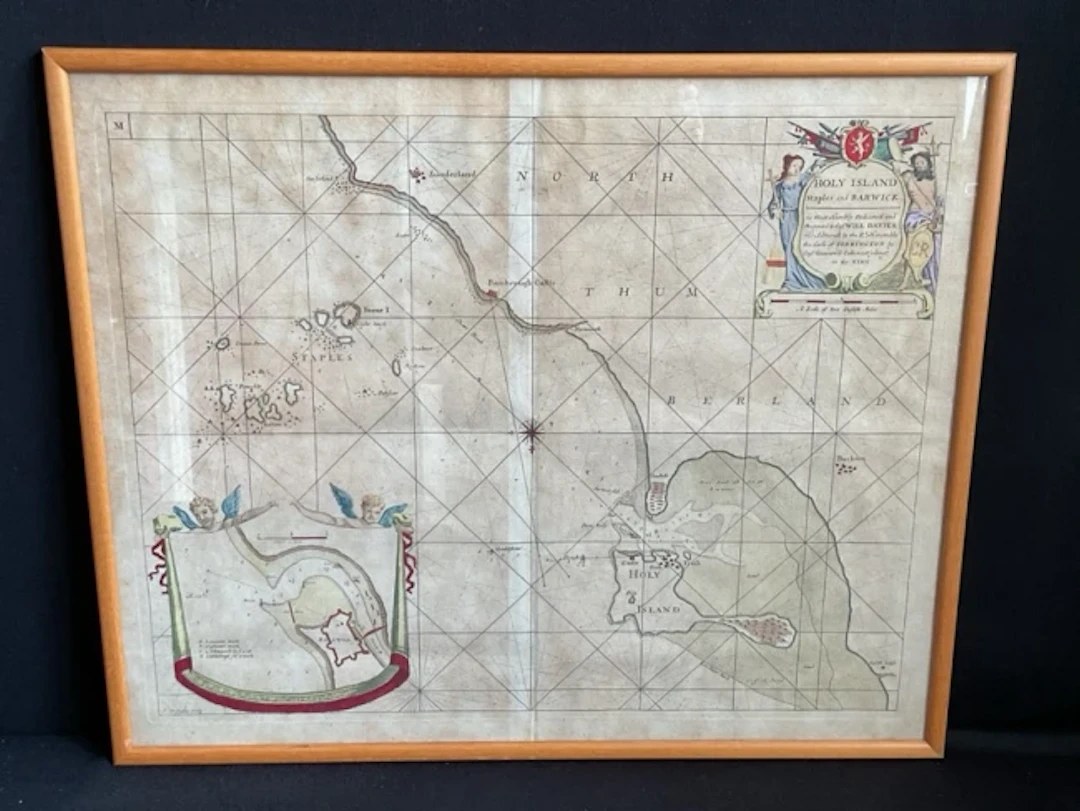
A hand coloured C18th edition of the coastal map of Holy Island, Staples and Barwick by captain Greenville Collins, framed. (23.75in x 19.25in)
Estimate:£70
To the auctionView all items fromRailtonsorBooks, Maps & Manuscripts
Estimate:
£70
OCT 17 | 10:00 PM


Bring your auction to collectors worldwide!
Get listed now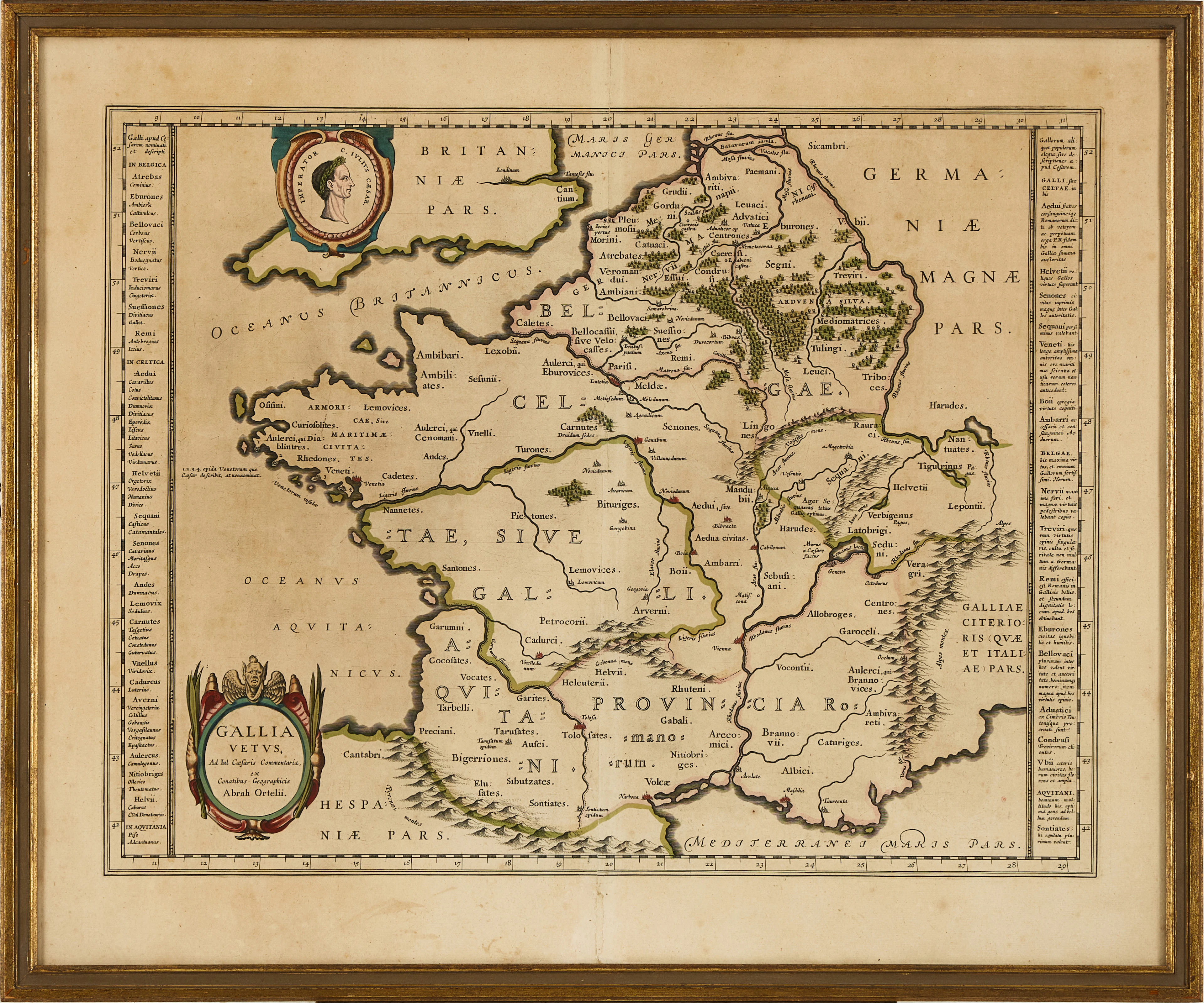
KARTA ÖVER FRANKRIKE, ORTELIUS GALLIA VETUS, ca 1590-1610.
10/06/2026
£60.54
Est: £113.04
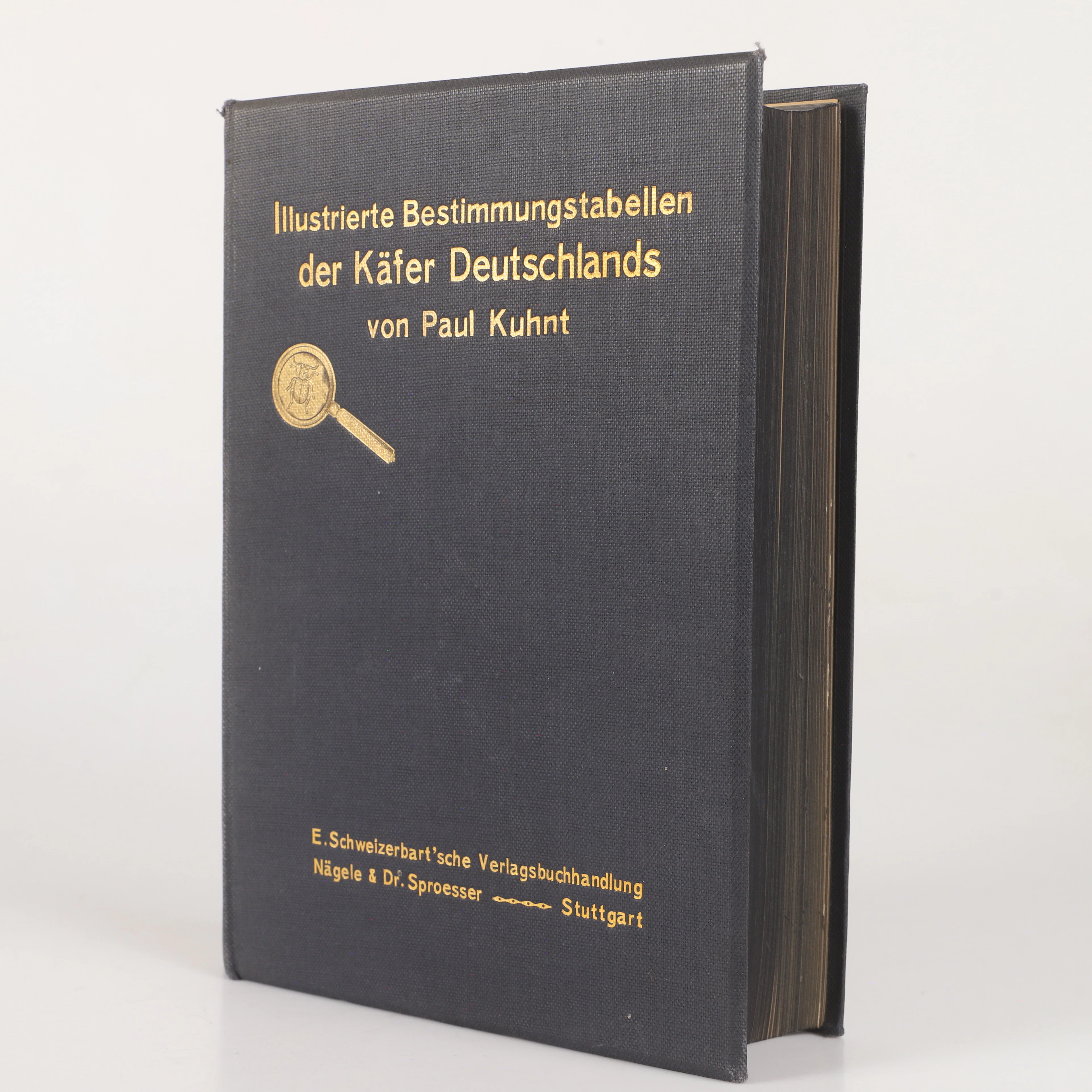
BOK, "Illustrierte bestimmungstabellen der käfer Deutschland"Paul
10/06/2026

£22.7
Est: £30.25