






OCT 17 | 10:00 PM

All auctions / Books, Maps & Manuscripts / Antique Map of Ireland, French, Framed Cartography, Eire, Georgian, Circa 1780
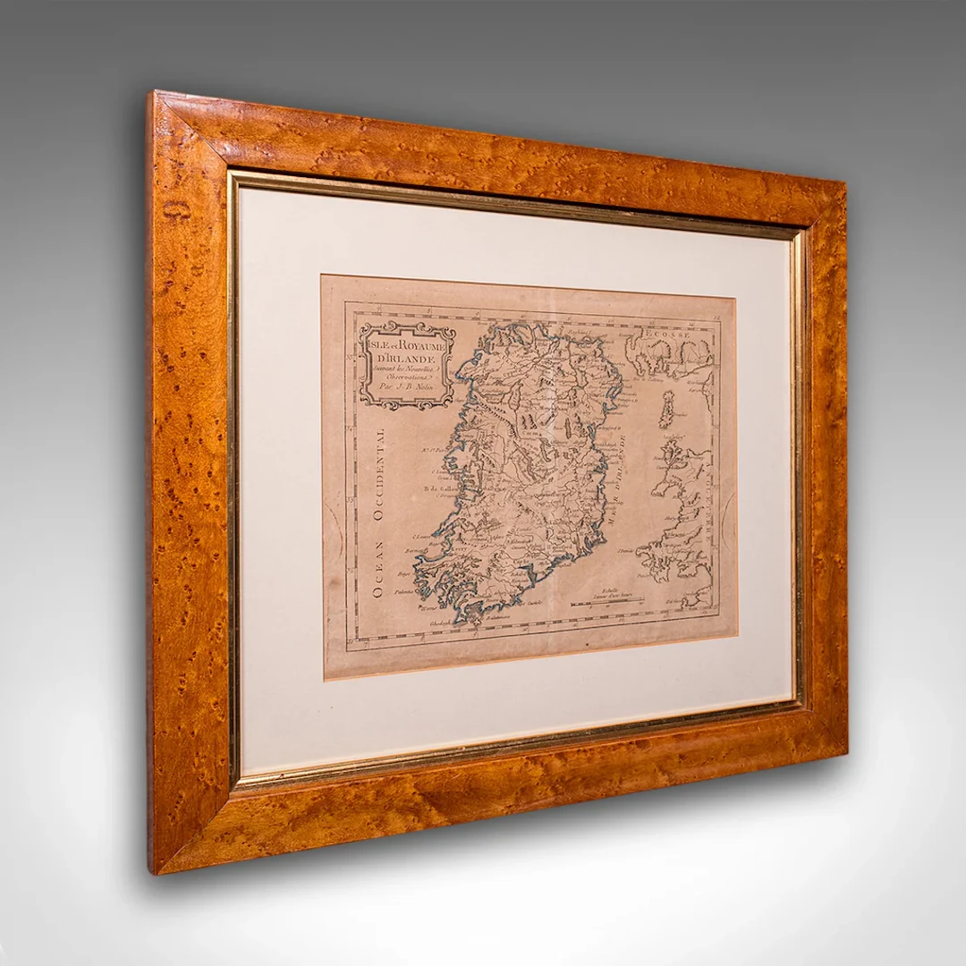
This is an antique map of Ireland. A French, maple framed cartography engraving by Jean-Baptiste Nolin, this posthumous atlas edition dating to the Georgian period, circa 1780. Full Title: This is a fascinating late 18th century Ireland map, a delightful atlas engraving published by the cartographer's son. Perfect for collectors of antique maps and national history. Delivered ready to display. Max Width: 47.5cm (18.75'')Max Depth: 2cm (.75'')Max Height: 42.5cm (16.75'') Map Width: 28.5cm (11.25'')Map Height: 23.5cm (9.25'')
Estimate:£895
To the auctionView all items fromLondon Fine AntiquesorBooks, Maps & Manuscripts
Estimate:
£895
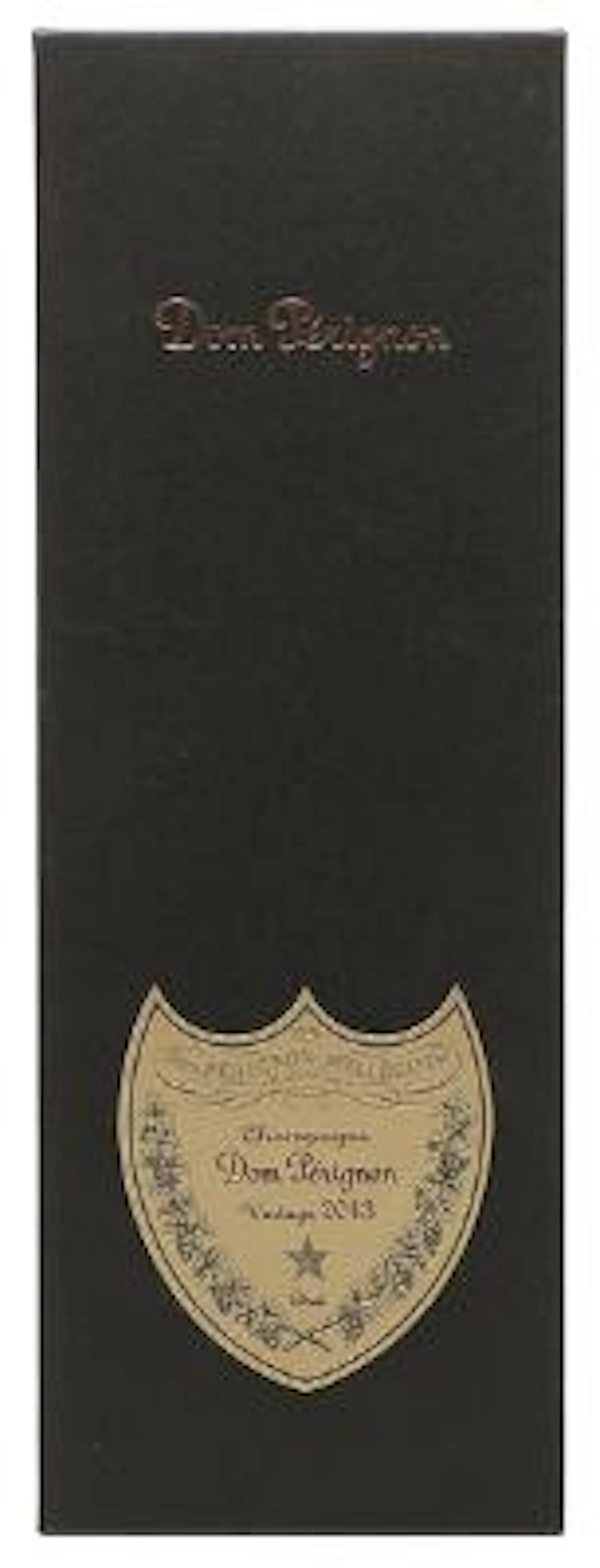
1 bt. Champagne Dom Pérignon, Moët et Chandon 2013 A (hf/in). Oc.
10/15/2026

£135.49
Est: £159.14

1 bt. Champagne "Cristal", Louis Roederer 2016 A (hf/in). Oc. – Bruun
10/15/2026
£158.07
Est: £159.14
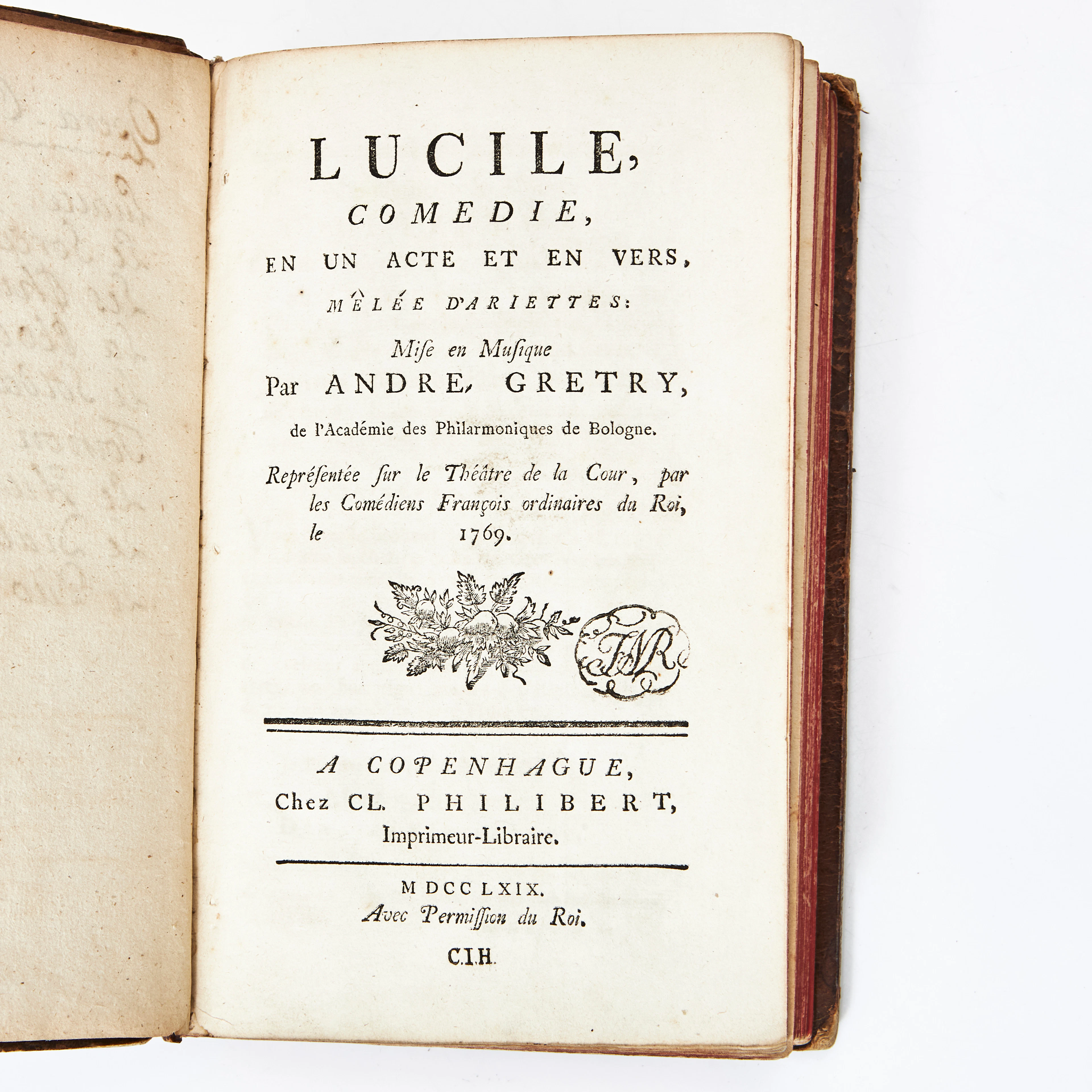
COLLECTION OF 9 PLAYS IN FRENCH 1766-69.
10/14/2026
£26.49
Est: £113.55
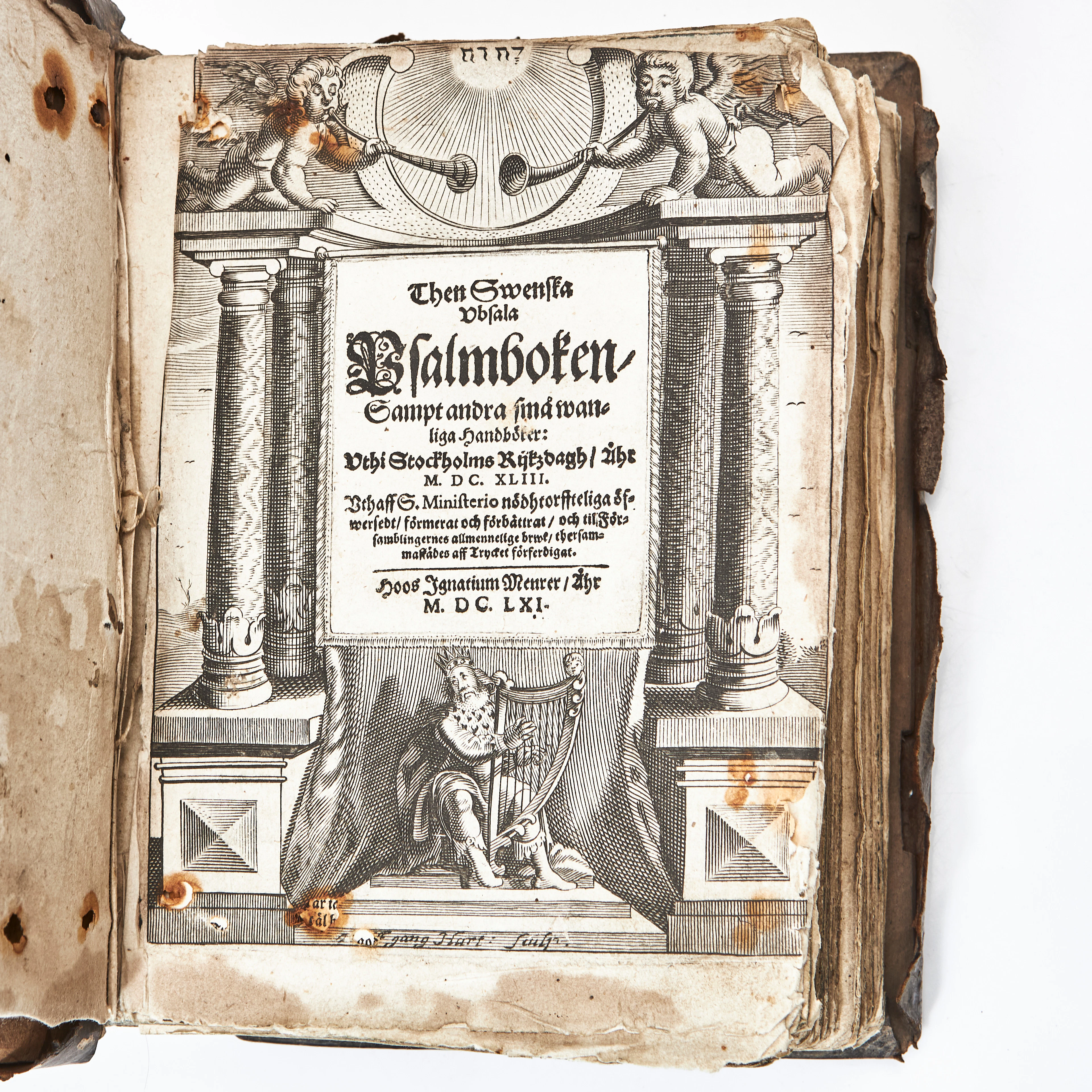
THEN SWENSKA UBSALA PSALMBOKEN 1661 MED FLERA. 3 vol.
10/14/2026
£1,102.87
Est: £227.1
OCT 17 | 10:00 PM




OCT 23 | 8:00 AM
Bring your auction to collectors worldwide!
Get listed nowBy subscribing, you are agreeing to the privacy policy. Unsubscribe anytime.
Barnebys HQ
Brahegatan 10
BOX 5038
114 37 Stockholm
