






OCT 17 | 10:00 PM

All auctions / Books, Maps & Manuscripts / Antique Somerset Map, Thomas Kitchin, English, Cartographic Reference, Georgian
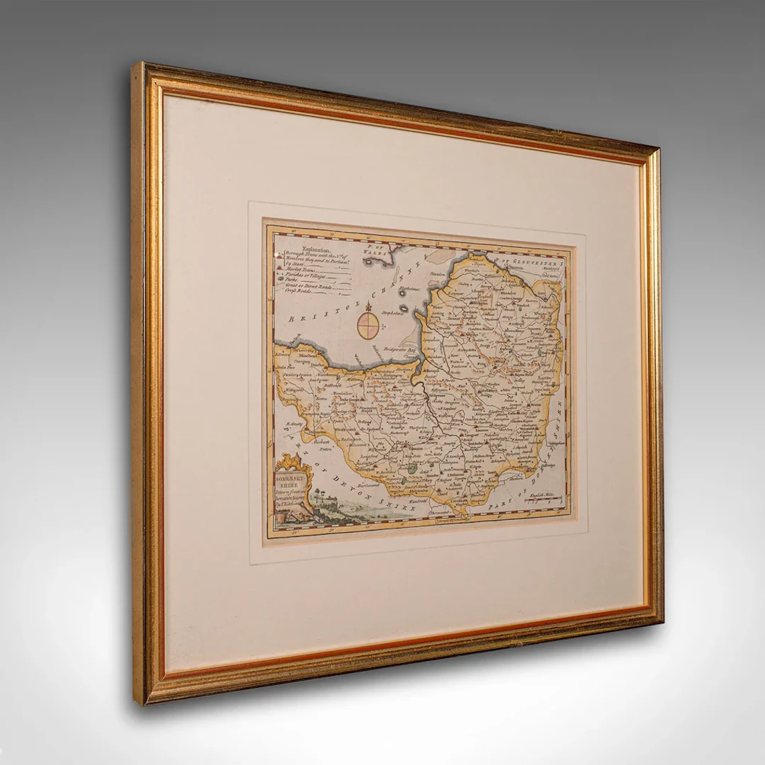
This is a fine antique Somerset map. An 18th century English cartographic county reference engraving by Thomas Kitchin (1718–1784), dating to the Georgian period, circa 1780. A beautifully detailed piece of cartographic history, offering charm and educational value in equal measure. This elegant antique county map of Somerset is a superb decorative and educational piece, showcasing Thomas Kitchin’s masterful cartography. Ready to grace the wall of a study, hallway or heritage-inspired living space. Delivered ready for the home. Max Width: 41.5cm (16.25'')Max Depth: 1.5cm (.5'')Max Height: 35cm (13.75'') Map Width: 25.5cm (10'')Map Height: 19cm (7.5'')
Estimate:£495
To the auctionView all items fromLondon Fine AntiquesorBooks, Maps & Manuscripts
Estimate:
£495
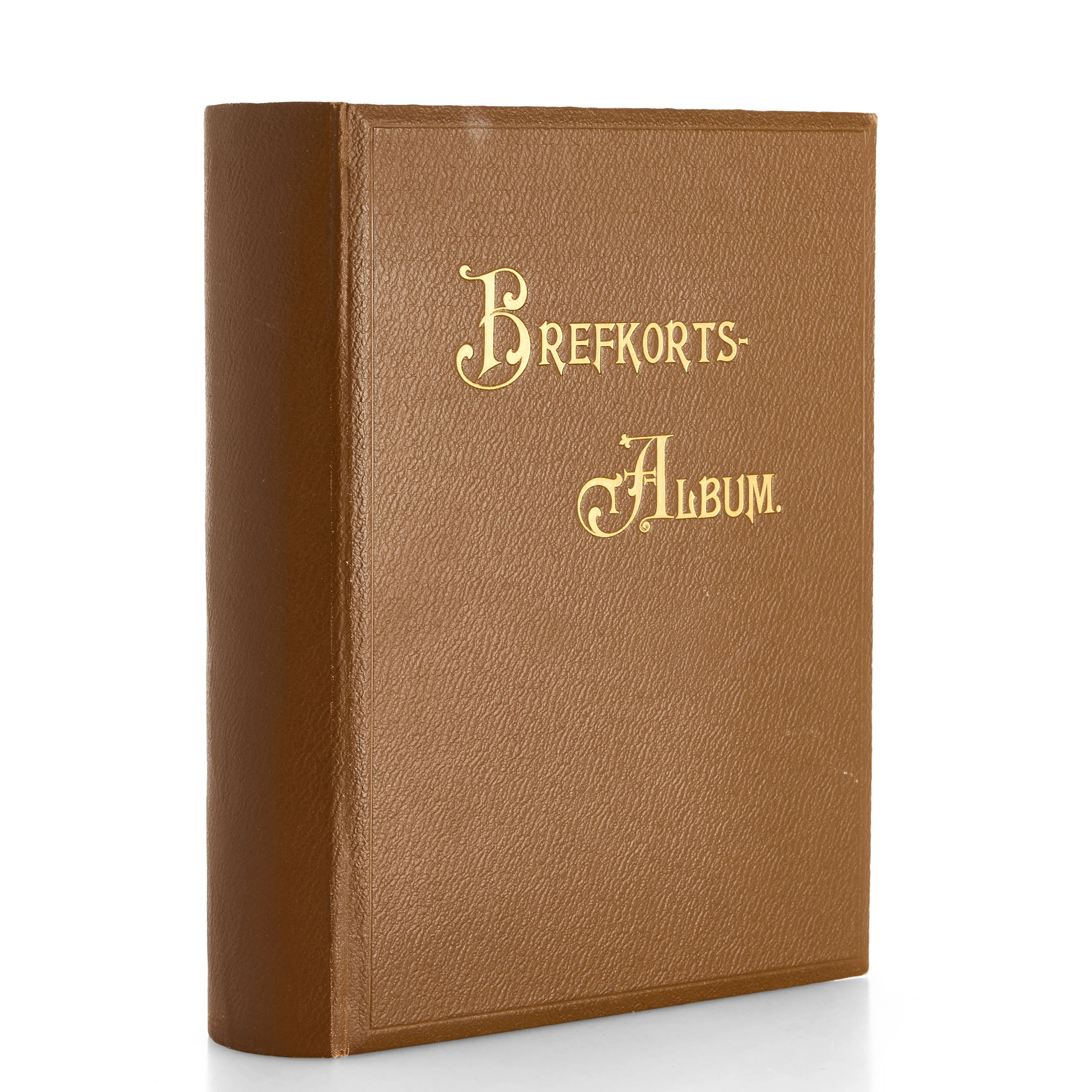
VYKORTSSAMLING - SVENSKA KUNGLIGHETER. GUSTAF V, OSCAR II M.FL. I
10/15/2026
£45.41
Est: £75.69

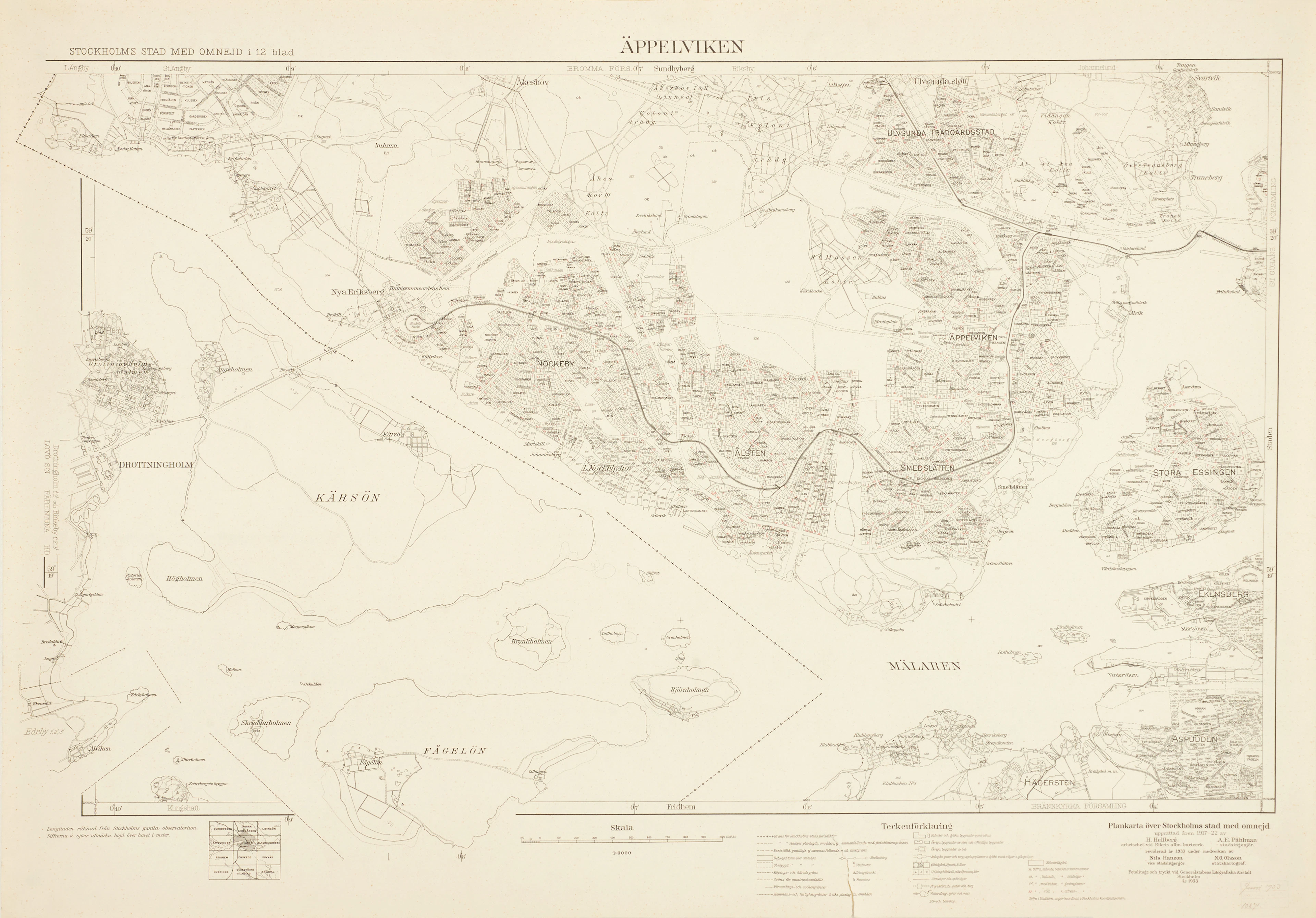
ÄPPELVIKEN, Plankarta över Stockholms Stad med omnejd, 1933, fotolitogr.
10/15/2026
£83.26
Est: £75.69
OCT 17 | 10:00 PM




OCT 23 | 8:00 AM
Bring your auction to collectors worldwide!
Get listed nowBy subscribing, you are agreeing to the privacy policy. Unsubscribe anytime.
Barnebys HQ
Brahegatan 10
BOX 5038
114 37 Stockholm
