







OCT 17 | 10:00 PM

All auctions / Books, Maps & Manuscripts / Antique South Wales Map, English, Framed, Robert Morden Cartography, Circa 1720
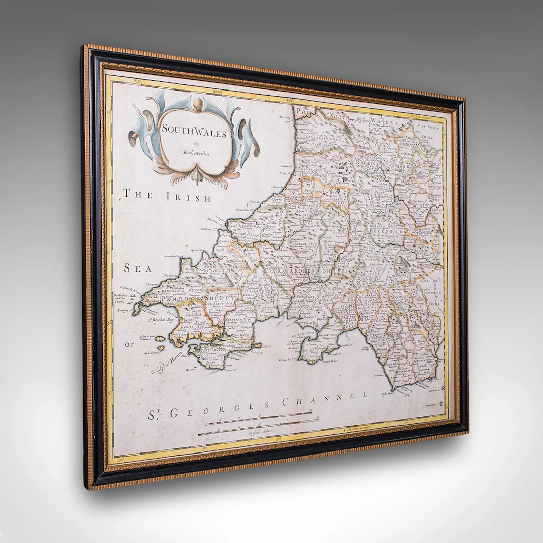
This is an antique framed map of South Wales. An English, atlas engraving of cartographic interest By Robert Morden, dating to the early 18th century, circa 1720. This is a superb antique map of South Wales, with fine cartographic interest and presented in a tasteful later frame. Delivered ready to display. Max Width: 48cm (19'')Max Depth: 1.5cm (.5'')Max Height: 40.5cm (16'') Map Width: 44cm (17.25'')Map Height: 36.5cm (14.25'')
Estimate:£595
To the auctionView all items fromLondon Fine AntiquesorBooks, Maps & Manuscripts
Estimate:
£595
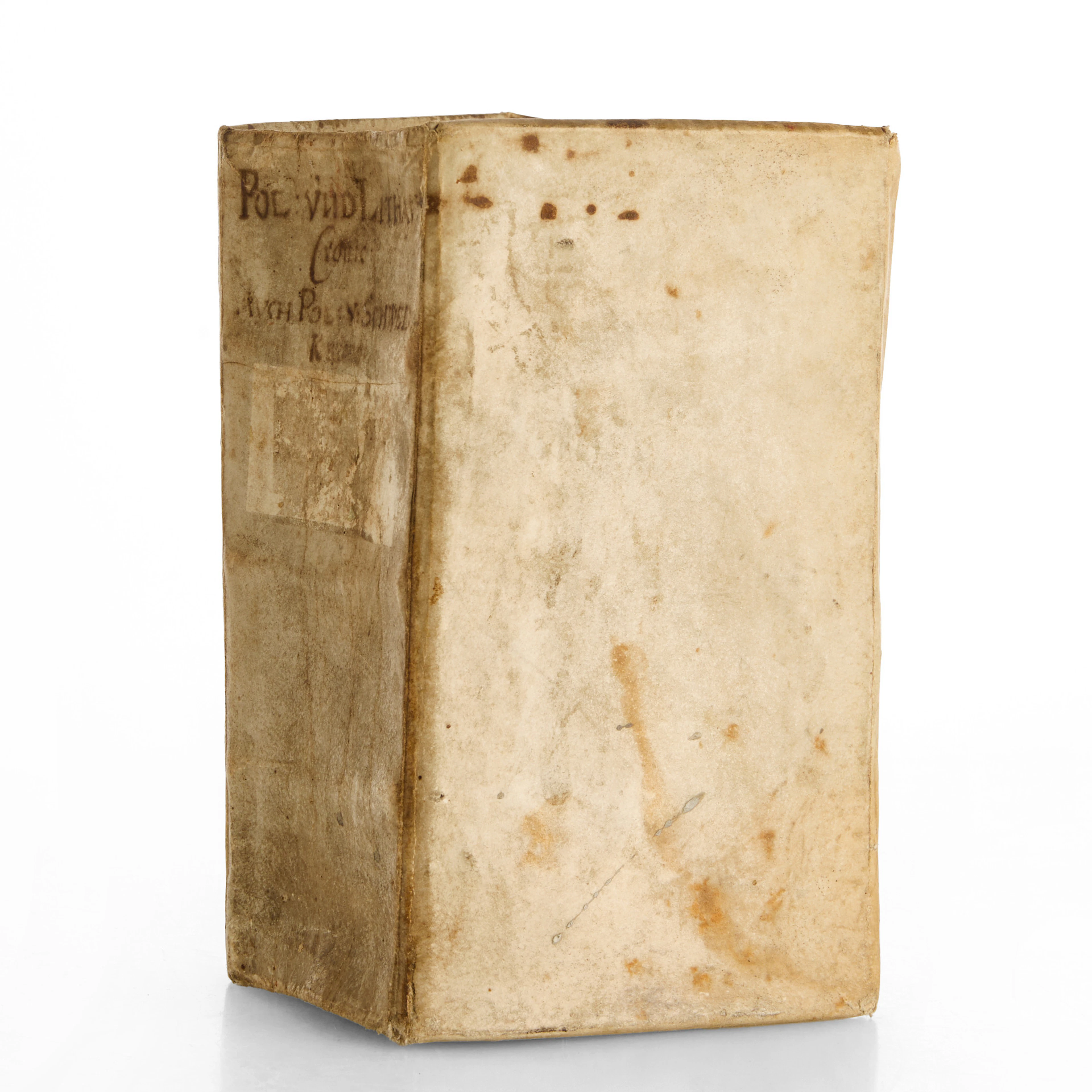
EUCHARIUS GOTTLIEB RINK (1670–1745), "Das verwirrte Pohlen". Första upplagan.
10/15/2026
£617.5
Est: £302.79

OCT 17 | 10:00 PM




OCT 23 | 8:00 AM
Bring your auction to collectors worldwide!
Get listed nowBy subscribing, you are agreeing to the privacy policy. Unsubscribe anytime.
Barnebys HQ
Brahegatan 10
BOX 5038
114 37 Stockholm
