





All auctions / Books, Maps & Manuscripts / Asia - East Indies

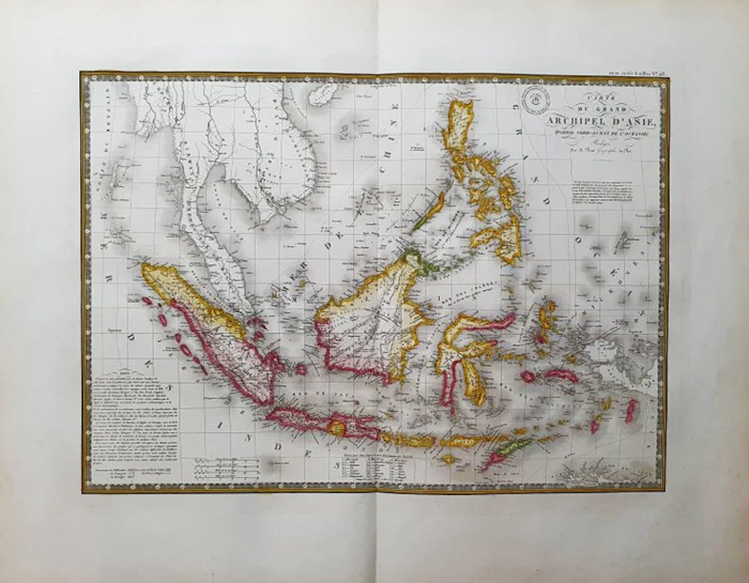
- This Geographical Map is an original 1834-ish copperplate engraving in IMPERIAL-FOLIO. - It is the A. BRUE edition, very beautiful and particularly rich in geographical as well as historical information. - The map in question comes from the work whose title is: "ATLAS UNIVERSEL de Geographie Physique, Politique, Ancienne et Moderne, Contenant les Cartes Generales et Particulieres A PARIS, 1834 ca." - Beautiful map published in PARIS, with excellent coloring, wide margins, and geographically well detailed in every point. - Conditions: the condition is more than good, excellent, as in the photo. - The overall measurements of the map are: 68 cm x 54 cm
Estimate:£39.41
To the auctionView all items fromCatawikiorBooks, Maps & Manuscripts
Estimate:
£39.41
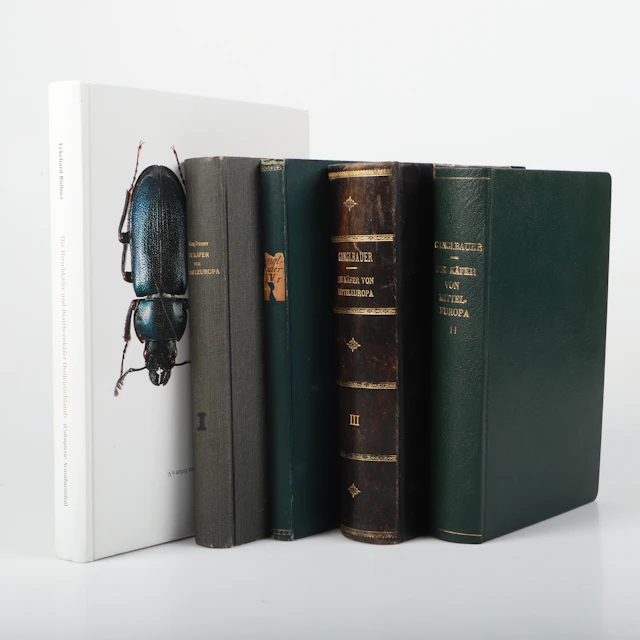
BÖCKER, 5 stycken, bl. a. "Die käfer von mitteleuropa", Ganglbauer, 1892-95.
10/24/2026

£41.41
Est: £45.42

First Edition "Modern Art" by Sam Hunter and John Jacobus with More Art Books
10/24/2026
£29.9
Est: £16.41

Third Printing "AppleDesign: The Work of the Apple Industrial Design Group"
10/24/2026
£4.48
Est: £0.75

First Printing "A Charlie Brown Christmas" by Charles M. Schulz, 1965
10/24/2026
£44.85
Est: £41.05


OCT 27 | 4:00 PM
Bring your auction to collectors worldwide!
Get listed nowBy subscribing, you are agreeing to the privacy policy. Unsubscribe anytime.
Barnebys HQ
Brahegatan 10
BOX 5038
114 37 Stockholm
