




All auctions / Books, Maps & Manuscripts / Australia - Southern Hemisphere / Oceania / New Zealand; La Haye / P

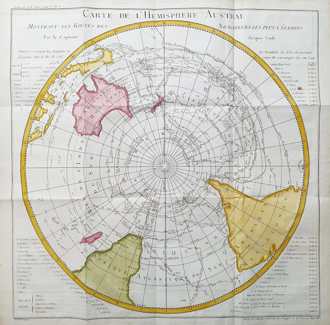
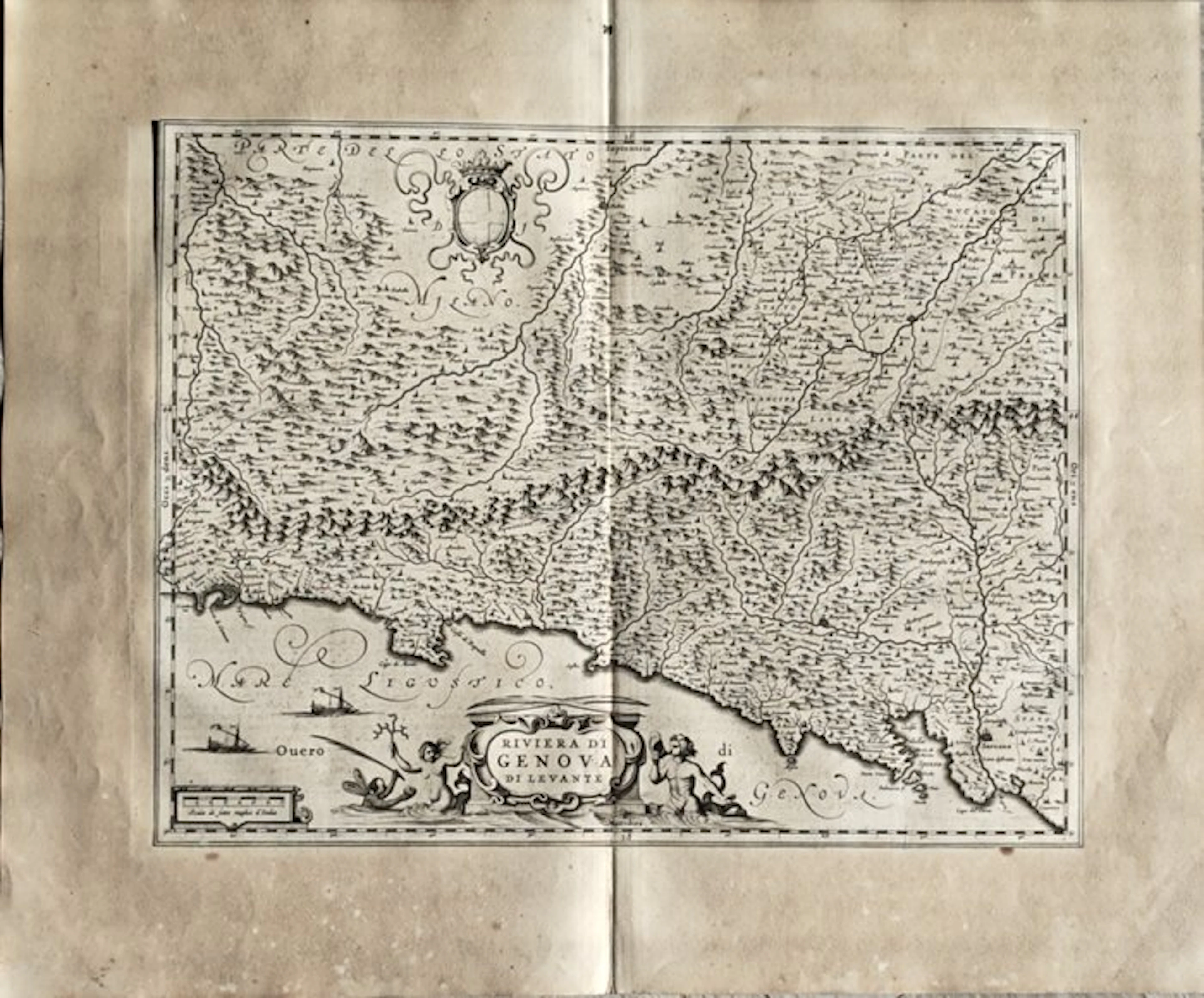
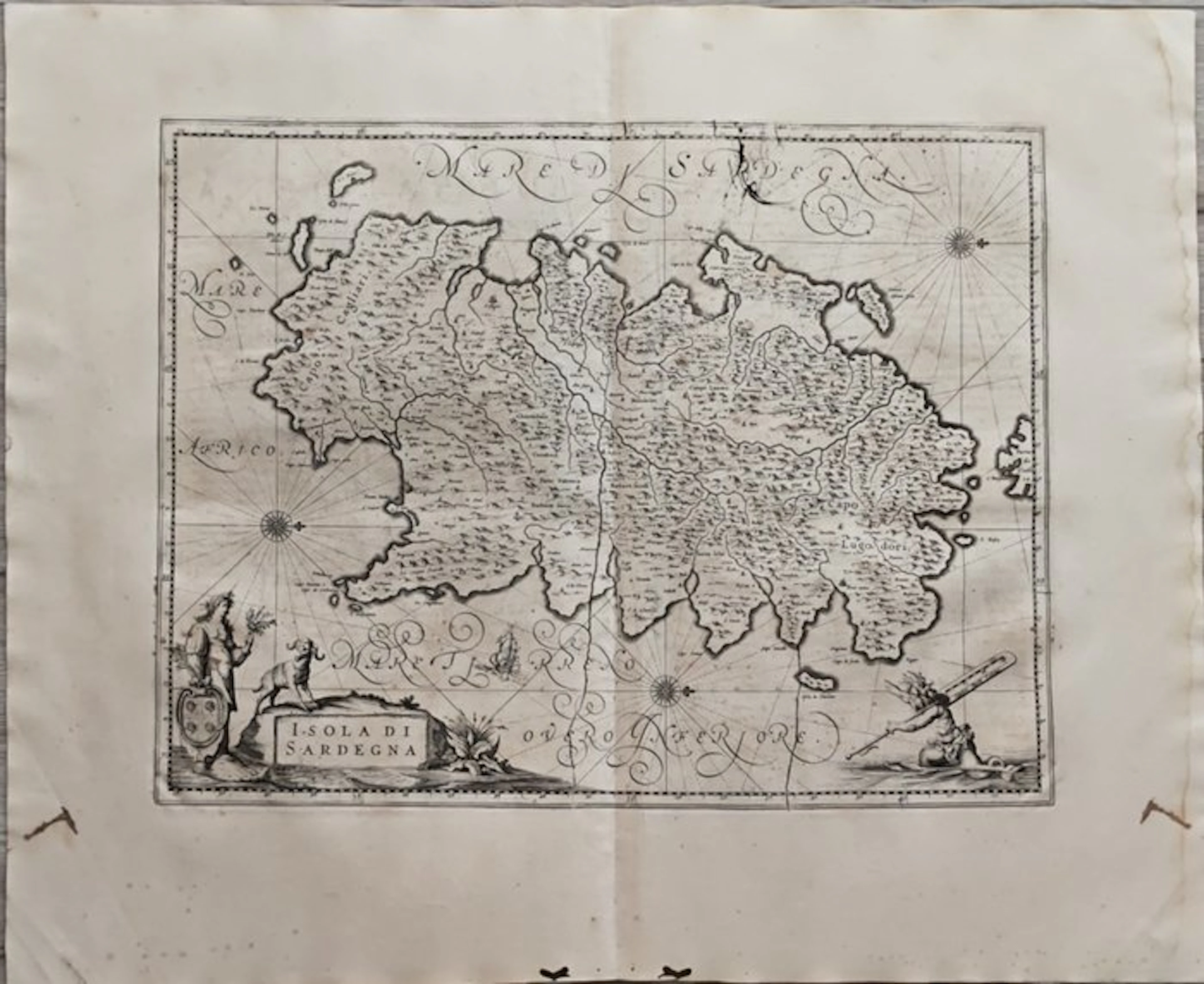
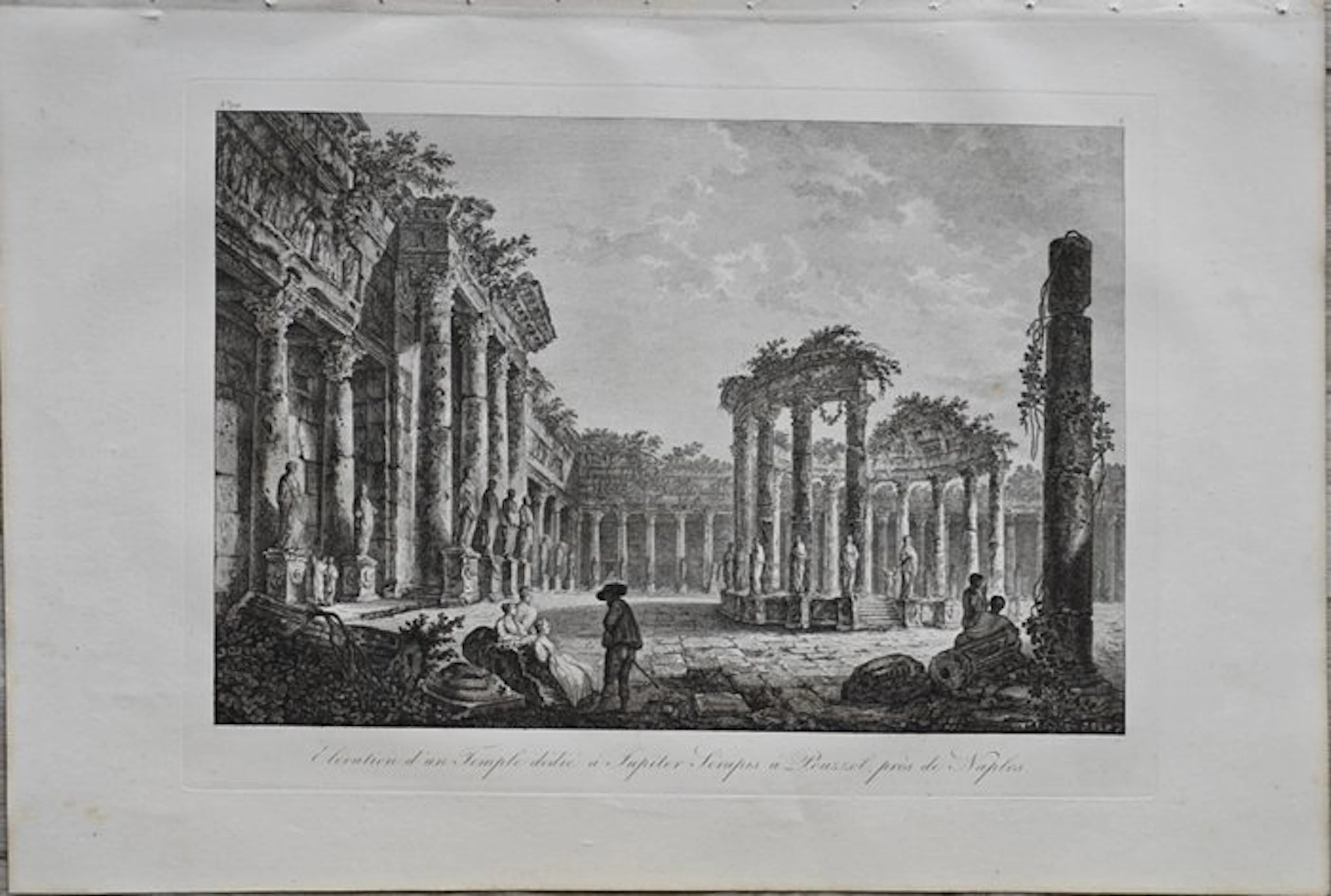
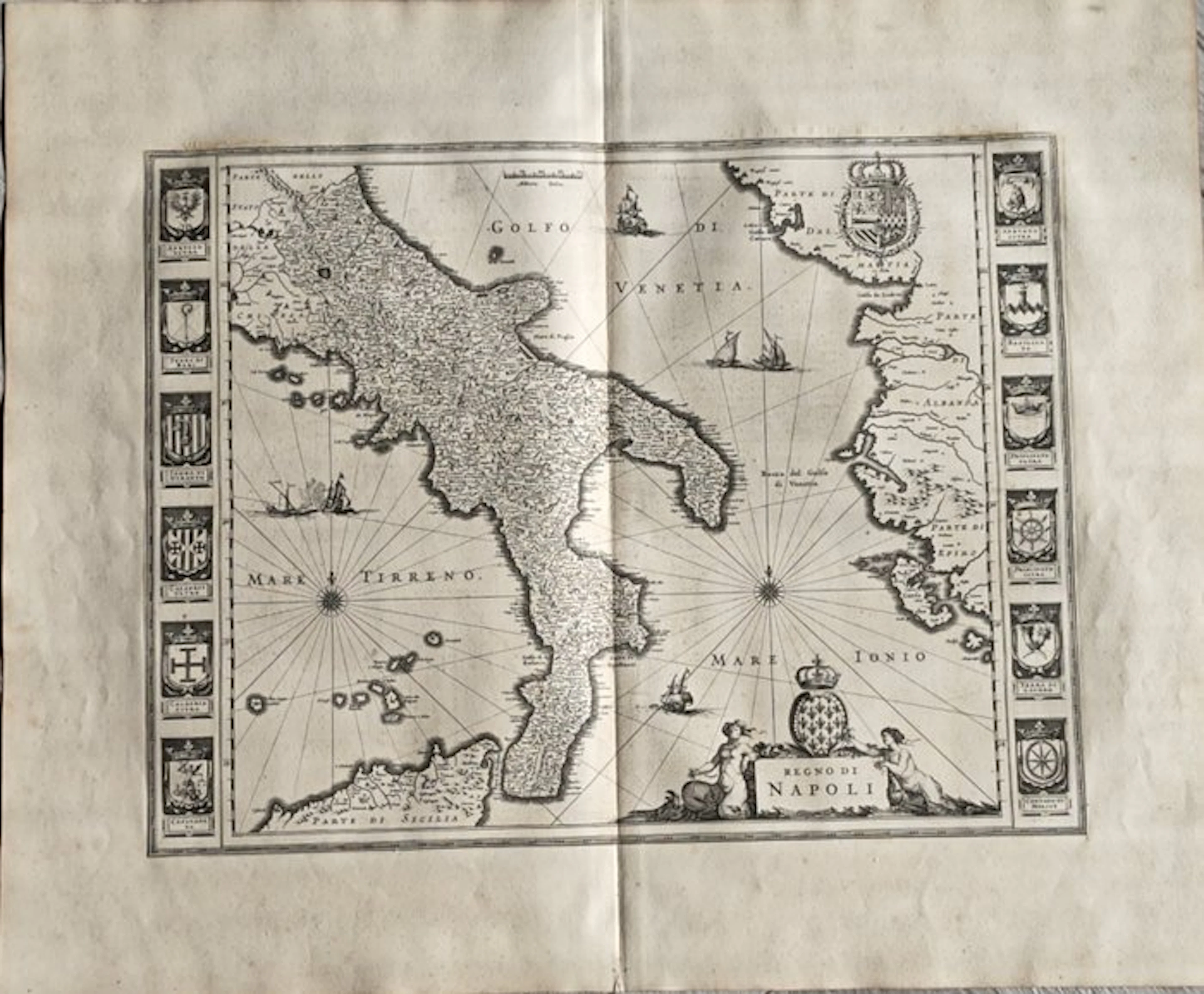
This Geographic Map is an original copper-plate engraving from 1747 (18th Century). This is the new and updated edition of BELLIN & PREVOST, edited in 1747 and around 1788 in its rare work, which bears the title: "HISTOIRE GENERALE DES VOYAGES AMSTERDAM, 1747". Beautiful Geographical Chart, printed in the Netherlands, with excellent inking and fantastic watercolor, and considering the edition year, it is geographically well detailed in every point. Conditions: the conditions are very, very good considering its age and its size, as the photos themselves show; however there are the usual editorial folds, easily removable and entirely insignificant. The overall dimensions of the map are: 59 cm x 58 cm
Estimate:£126.47
To the auctionView all items fromCatawikiorBooks, Maps & Manuscripts
Estimate:
£126.47


Carl Ellwood's Fort Wilderness Notes & Ephemera.
10/10/2026
£226.61
Est: £150.93
Carl Ellwood's Fort Wilderness Notes & Ephemera.
10/10/2026
£226.61
Est: £151.02


OCT 23 | 8:00 AM


OCT 27 | 4:00 PM
Bring your auction to collectors worldwide!
Get listed nowBy subscribing, you are agreeing to the privacy policy. Unsubscribe anytime.
Barnebys HQ
Brahegatan 10
BOX 5038
114 37 Stockholm
