







OCT 23 | 8:00 AM

All auctions / Books, Maps & Manuscripts / Europe - Europe; L

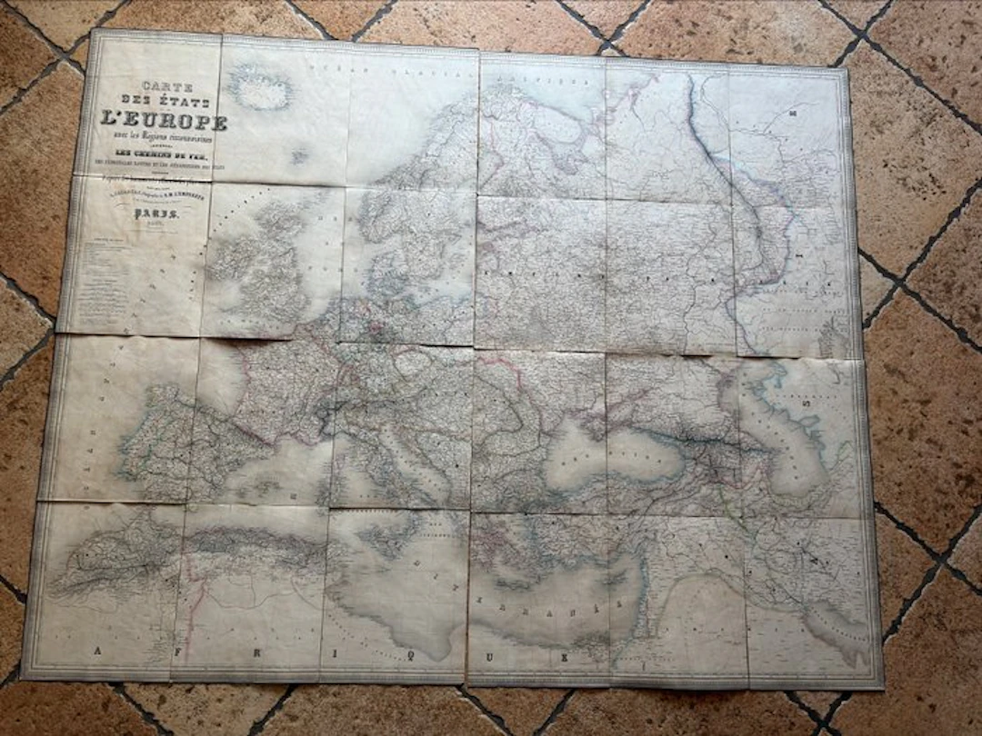
The letter illustrates the development of railway lines and maritime navigation routes in Europe during the 19th century, offering a precious snapshot of transport and political borders of the era. The outer cover is a bit worn and measures 26.5 cm in length and 22.5 cm in width. The maps measure 25 cm in height and 67.5 cm in width (unit measurement). The back is linen- or cotton-backed and features classic foxing, stains and patina consistent with an object from the second half of the 19th century.
Estimate:£126.3
To the auctionView all items fromCatawikiorBooks, Maps & Manuscripts
Estimate:
£126.3
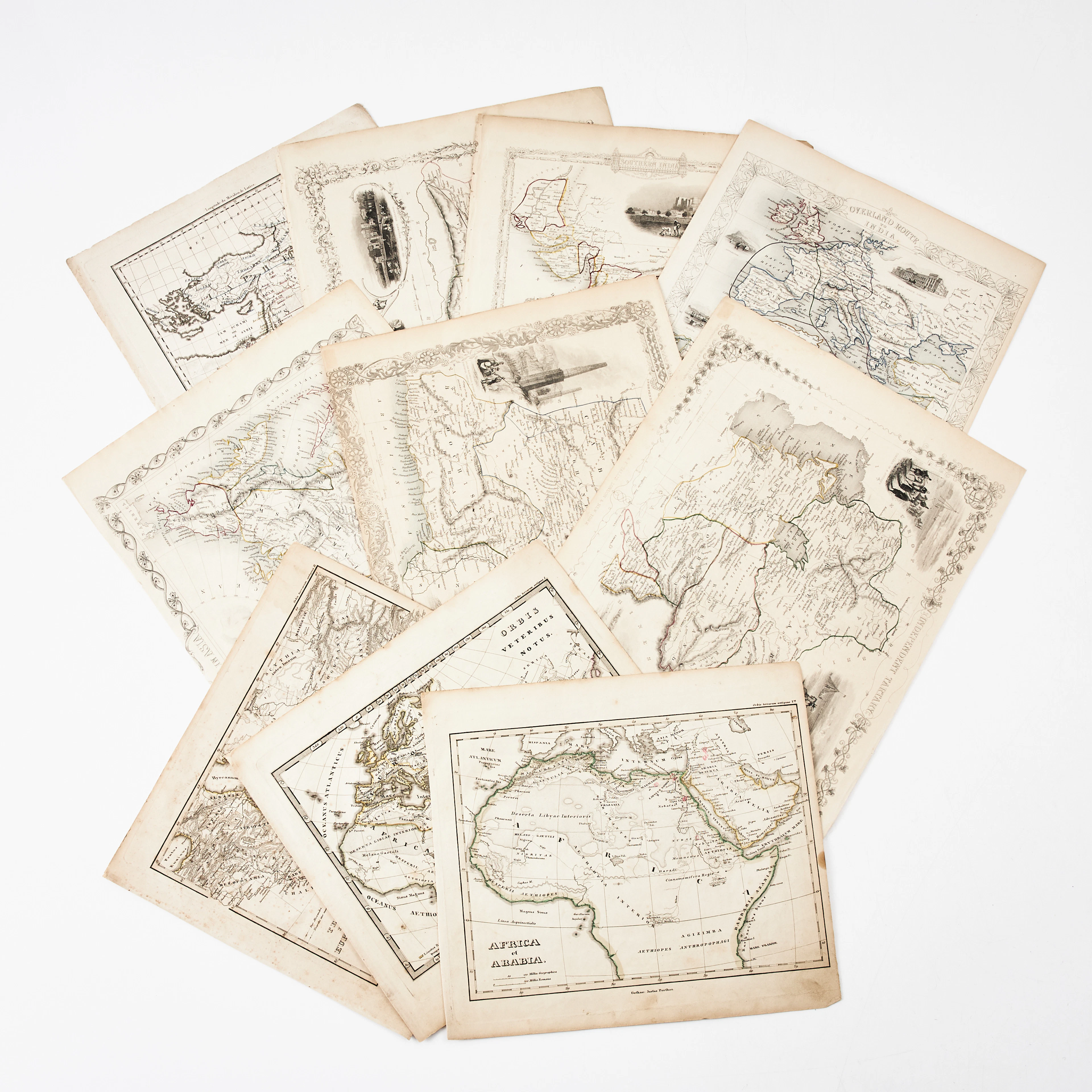
KARTOR 10 ST, bl.a. INDIEN, AFRIKA m.fl., 1800-tal.
10/18/2026
£22.72
Est: £113.8
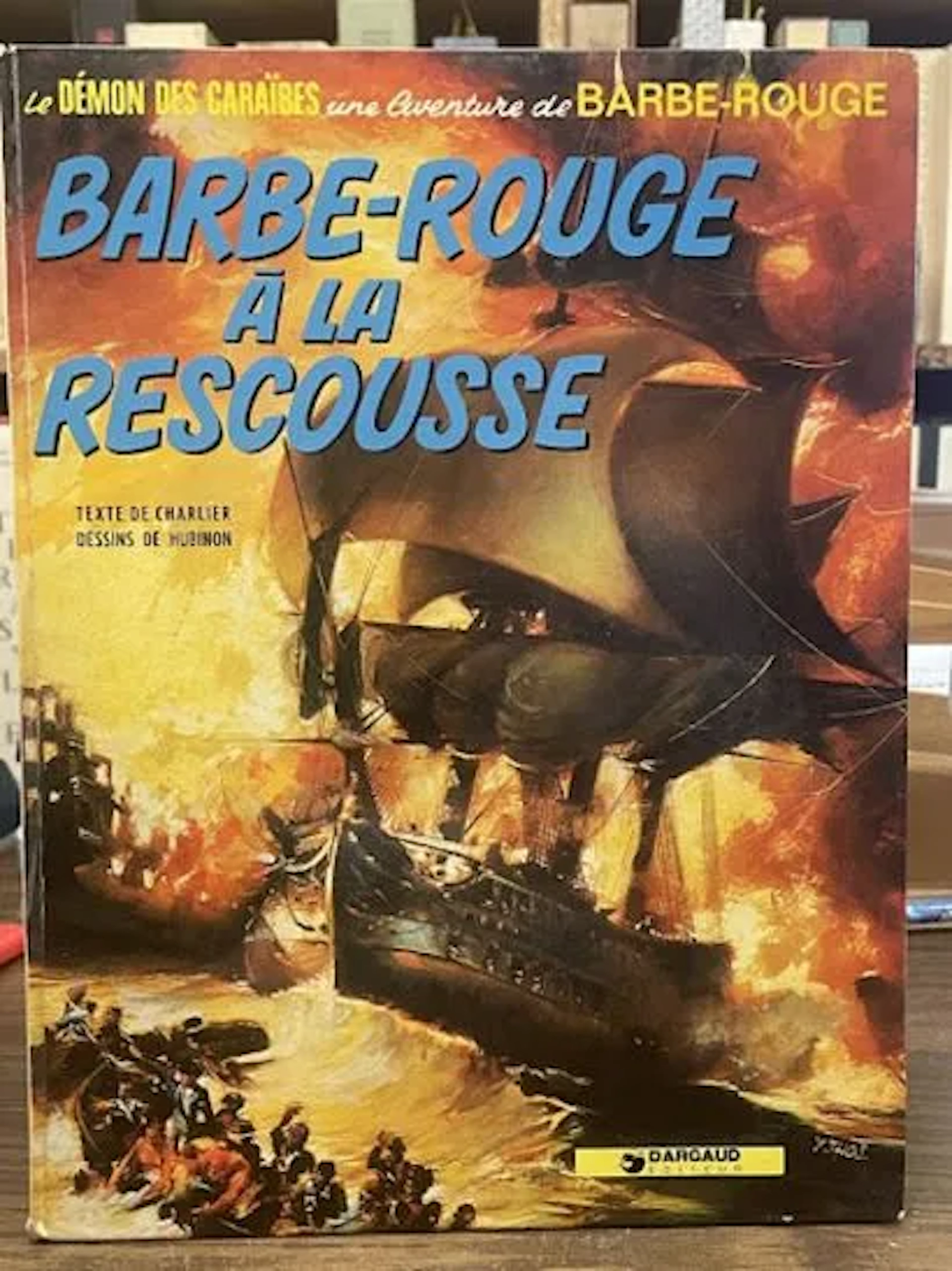
Redbeard Comic Book - Redbeard to the Rescue - Dargaud Repri - Lot 79
10/18/2026

£2.52
Est: £12.67

JIJÉ - Jerry Spring : La Passe des Indiens (Éditions Dupuis, - Lot 115
10/18/2026
£10.11
Est: £12.67

MITACQ & WASTERLAIN - La Patrouille des Castors : L'Intégral - Lot 131
10/18/2026
£7.58
Est: £12.67
OCT 23 | 8:00 AM




OCT 27 | 4:00 PM
Bring your auction to collectors worldwide!
Get listed nowBy subscribing, you are agreeing to the privacy policy. Unsubscribe anytime.
Barnebys HQ
Brahegatan 10
BOX 5038
114 37 Stockholm
