





All auctions / Books, Maps & Manuscripts / France - Béthune; V

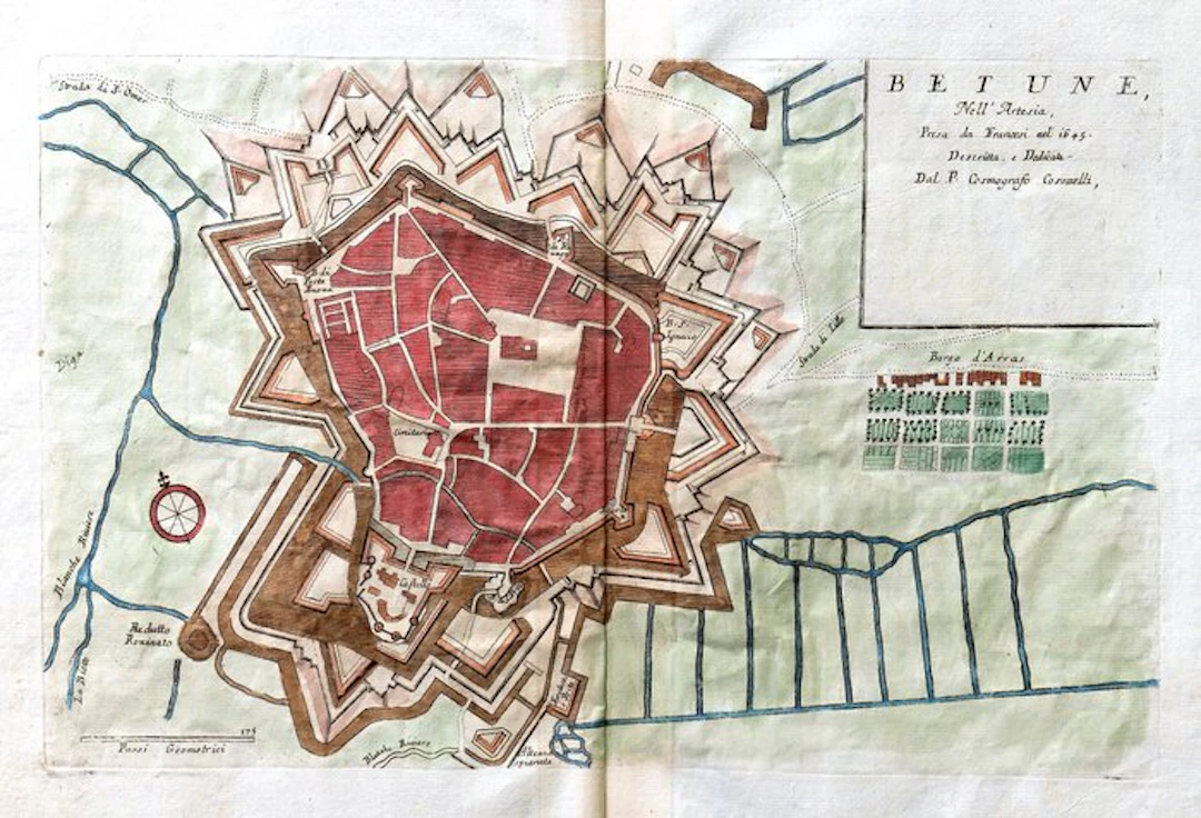
Technical data Title: Betune, Nell’Artesia, Taken by the French in 1645. Described, and Dedicated by the P. Cosmographer Coronelli. Author: Vincenzo Maria Coronelli (1650–1718). Publisher: D. Padovani, according to the editorial data indicated for the work to which it belongs; name not present on the plate. Place: Venice. Period: about 1689. Technique: copperplate engraving on copper with aquatint, with manual colorization of era not established. Support: laid paper. Dimensions: sheet 39.5 × 54 cm; plate 27 × 44.5 cm. Composition: single plate on two pages, with a vertical central fold; number “31” in the upper right margin; verso devoid of printed text. Description Plan of the fortified city of Béthune, indicated with the Italian name “Betune,” in the ancient province of Artois, today in northern France. The plate illustrates the urban layout and the complex defensive system that surrounded the city, recalling in the title its French conquest of 1645. The built core is shown in plan, with the grid of streets and the blocks enclosed within a structured perimeter of bastions, ravelins, and advanced works. The representation distinguishes the different elements of the fortification and their relation to the waterways, access routes, and surrounding territory. Outside appear the “Borgo d’Arras” (Arras Quarter), regular plots and gardens, as well as indications of the roads to Saint-Omer and Lille. A wind rose and a scale in geometric steps complete the cartographic apparatus. The title occupies a panel in the upper right corner, while numerous inscriptions identify structures and significant points of the city. The manual coloring highlights the urban fabric in red, the defensive works in brown and orange tones, the waters in blue, and the outer areas in green. The ensemble preserves the technical and documentary character of sixteenth- and seventeenth-century military cartography. Historical-artistic note Vincenzo Maria Coronelli, a Franciscan friar, geographer and globe-maker, was a central figure of Venetian cartography between the 17th and 18th centuries. His production includes geographical maps, urban plans, and representations of ports and fortresses, conceived to document territorial organization and the principal places of strategic interest. This plan fits into his repertory of European fortified cities. The attention given to the geometry of defenses, to the hydrography, and to access routes reflects the importance attributed to knowledge of fortresses in the geographical and military culture of the period. Condition Report Vertical central fold, with browning along the axis and traces of the previous binding. Paper slightly wavy, with localized creases, scattered foxing and small brown spots, also present at the margins. Slight irregularities and edge wear. Printer’s impression of the plate recognizable and the incised part overall well legible. Verso devoid of printed text, with transparency of the coloring, numbering and pencil annotations.
Estimate:£0.83
To the auctionView all items fromCatawikiorBooks, Maps & Manuscripts
Estimate:
£0.83
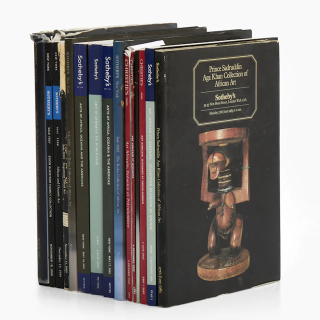
AUKTIONSKATALOGER, 15 st mellan 1983-2009, Sotheby's - Chtisties.
10/23/2026
£41.48
Est: £75.3

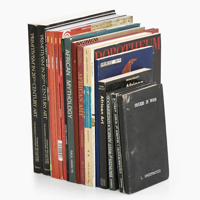
BÖCKER, TIDSKRIFTER, diverse om primitivism och afrikansk konst, bl.a. Tribal.
10/23/2026
£41.4
Est: £75.3

ANDREAS LUNDBERG (född 1973). "TRUST", monogramsignerad samt numrerad
10/23/2026
£75.28
Est: £151.38


OCT 27 | 4:00 PM
Bring your auction to collectors worldwide!
Get listed nowBy subscribing, you are agreeing to the privacy policy. Unsubscribe anytime.
Barnebys HQ
Brahegatan 10
BOX 5038
114 37 Stockholm
