






OCT 17 | 10:00 PM

All auctions / Books, Maps & Manuscripts / Italy - Ancient Map of Italy

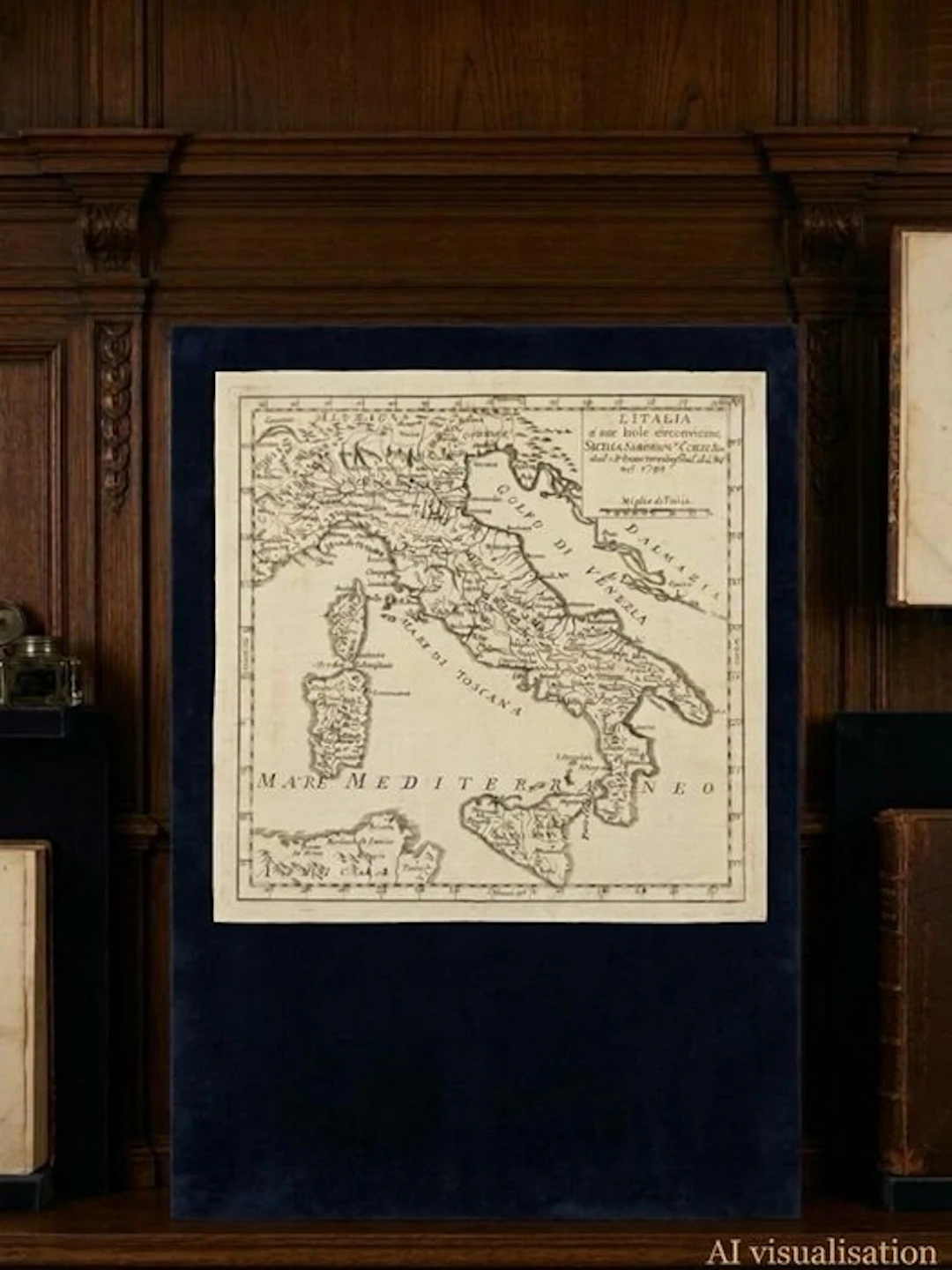
Splendid and rare original antique geographic map, entitled "L'Italia e' sue Isole circonvicine, Sicilia, Sardegna, Corsica, ecc.", engraved and published in 1748 by the celebrated French cartographer Gilles Robert de Vaugondy (Geographer to the King of France). An exceptional historical document from the 18th century showing the Italian peninsula and its major islands divided into their ancient states and dominations of the era, with fascinating historical toponyms (such as the Gulf of Venice for the Adriatic and the Sea of Tuscany for the Tyrrhenian Sea). Author: Gilles Robert de Vaugondy (Sieur Robert) Year: 1748 Technique: Original copper-engraving (copperplate) on handmade period paper. Conditions: Excellent overall condition Vaugondy maps are renowned for their scientific precision and aesthetic elegance, combining cartographic rigor with decorative value. A must-have piece for antique cartography collectors, enthusiasts of Italian history, or as a prestigious historical home décor element. Reference cartographer: Gilles Robert de Vaugondy (1688–1766), famous cartographer to the King of France, or one of his engravings/reproductions in an Italian edition of the time ("Dal S. Roberto Geog. del Re nel 1748"). His atlases were valued in the 18th century for their precision and scientific rigor. Collecting interest: 18th-century maps showing Italy divided into its ancient states (Duchy of Milan, Signoria of Venice, Kingdom of Naples, etc.) with era toponyms (Gulf of Venice, Sea of Tuscany) are always highly sought after by collectors and enthusiasts of local history. Era toponyms: The Adriatic Sea is indicated as the Gulf of Venice. The Tyrrhenian Sea is called the Sea of Tuscany. Northern Italy shows historical political entities and territories such as Alemagna, Savoja, Signoria of Venice, and the Duchy of Milan. Collecting interest: 18th-century maps that show Italy divided into its ancient states (Duchy of Milan, Signoria of Venice, Kingdom of Naples, etc.) with era toponyms (Gulf of Venice, Sea of Tuscany) are always highly sought after by collectors and enthusiasts of local history. Scale and coordinates: Includes the scale in "Miglie d'Italia" and latitude/longitude references along the edges.
Estimate:£2.52
To the auctionView all items fromCatawikiorBooks, Maps & Manuscripts
Estimate:
£2.52
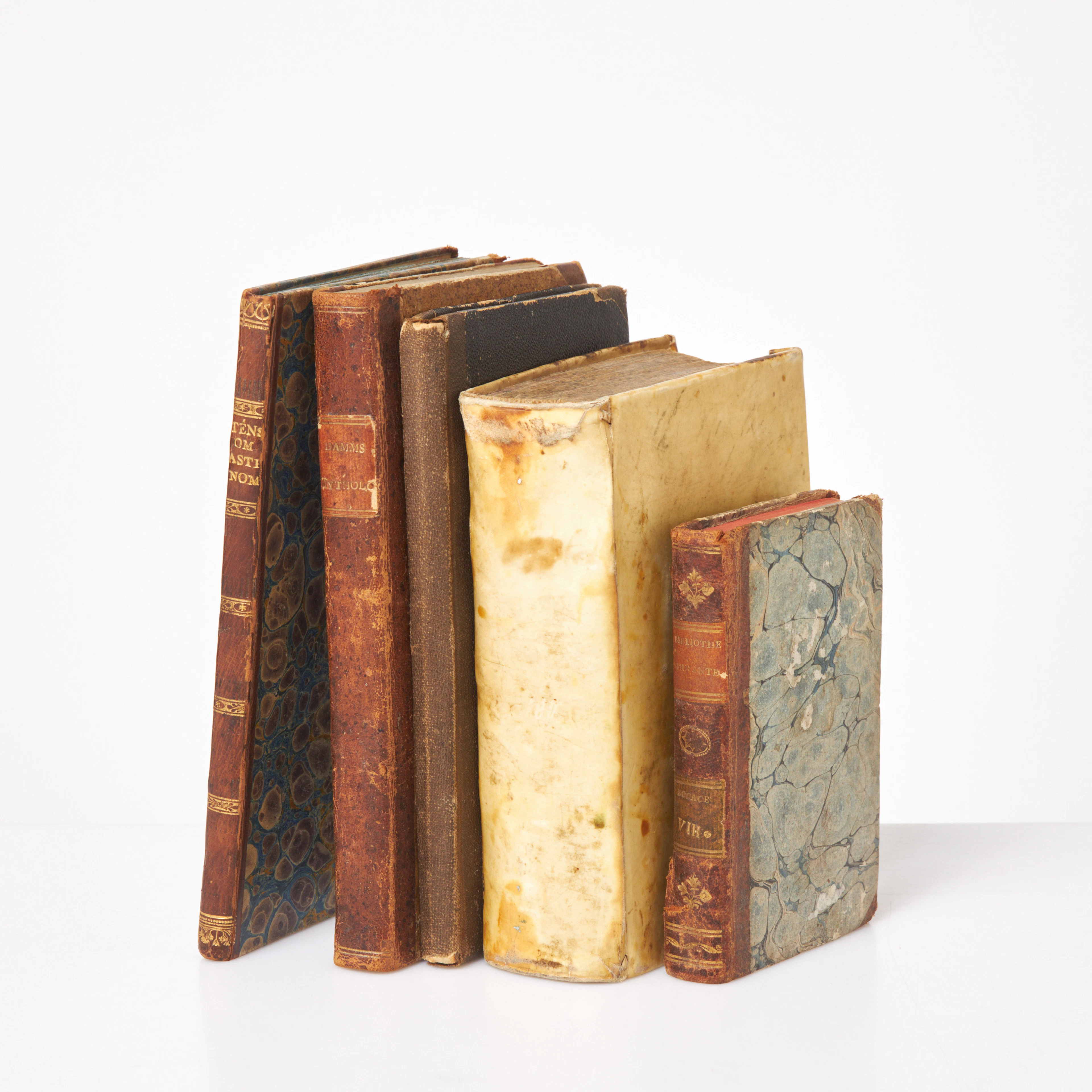
ÄLDRE BÖCKER, 5 st, Theologi, 1611, pergamentband, Grekerna och romarnas
10/15/2026
£49.31
Est: £75.69
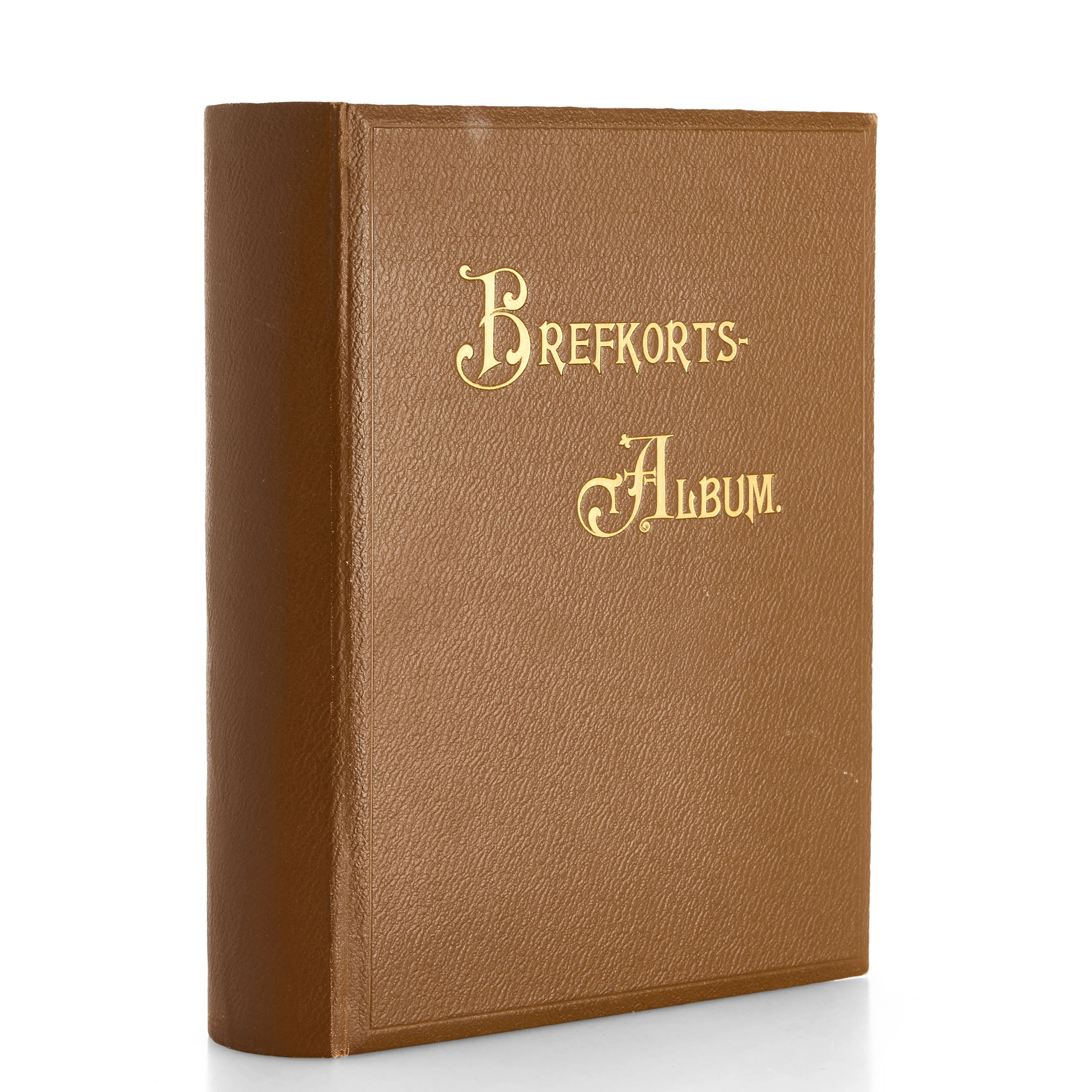
VYKORTSSAMLING - SVENSKA KUNGLIGHETER. GUSTAF V, OSCAR II M.FL. I
10/15/2026
£45.41
Est: £75.69
OCT 17 | 10:00 PM




OCT 23 | 8:00 AM
Bring your auction to collectors worldwide!
Get listed nowBy subscribing, you are agreeing to the privacy policy. Unsubscribe anytime.
Barnebys HQ
Brahegatan 10
BOX 5038
114 37 Stockholm
