






OCT 23 | 8:00 AM

All auctions / Books, Maps & Manuscripts / Italy - Emilia-Romagna

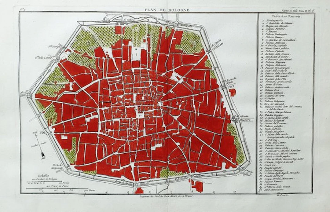
This Geographical Map is an original copper engraving from about 1768. This is a beautiful and decorative map by J.J. DE LALANDE, published in PARIS (PARIGI...) in 1768 in the edition, with the name: "Atlas du Voyage en Italie, fait dans les annees 1765 et 1766". Beautiful copper engraving, excellently preserved, splendid map rich in geographical details and much more. - Condition: the condition is more than good, excellent in all respects, as shown in the photo. - The map is very rare and perfect in every point, and very difficult to find in these conditions, and with this watercolor wash. The overall measurements of this map are: 44 cm X 29
Estimate:£20.3
To the auctionView all items fromCatawikiorBooks, Maps & Manuscripts
Estimate:
£20.3
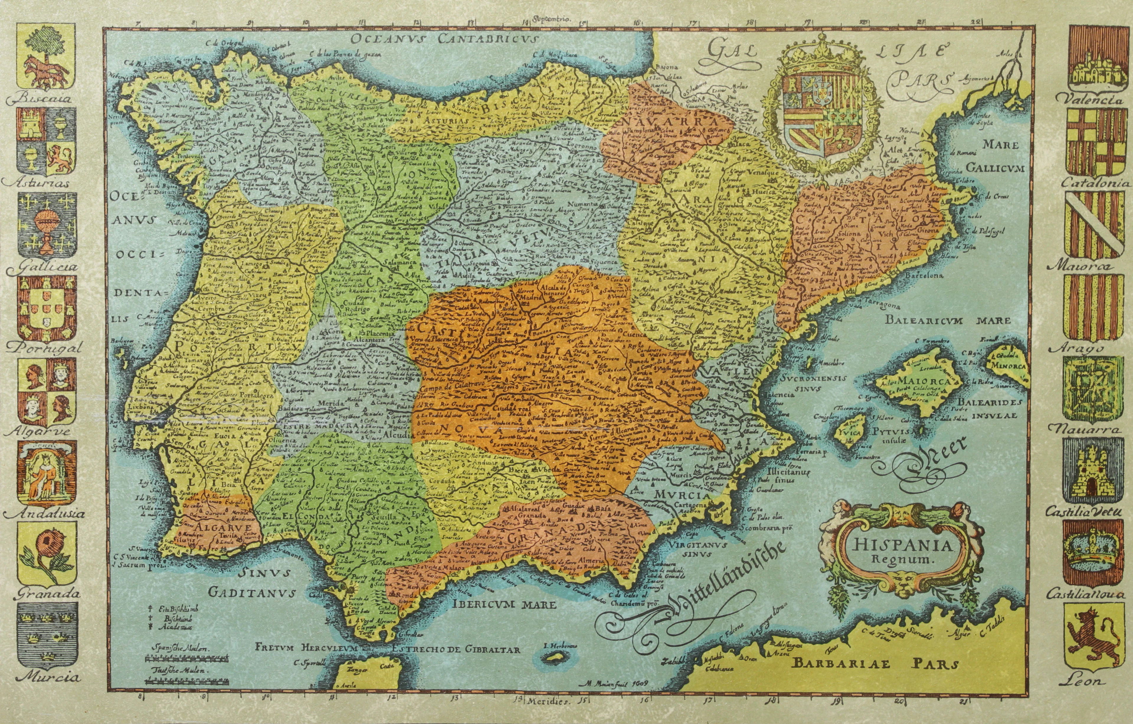
KARTA, Spanien, inramad, 1900-talets andra hälft.
10/14/2026
£22.71
Est: £37.85

BÖCKER om STOCKHOLM, 31 st, 1900-talets senare del.
10/14/2026
£39.74
Est: £45.42
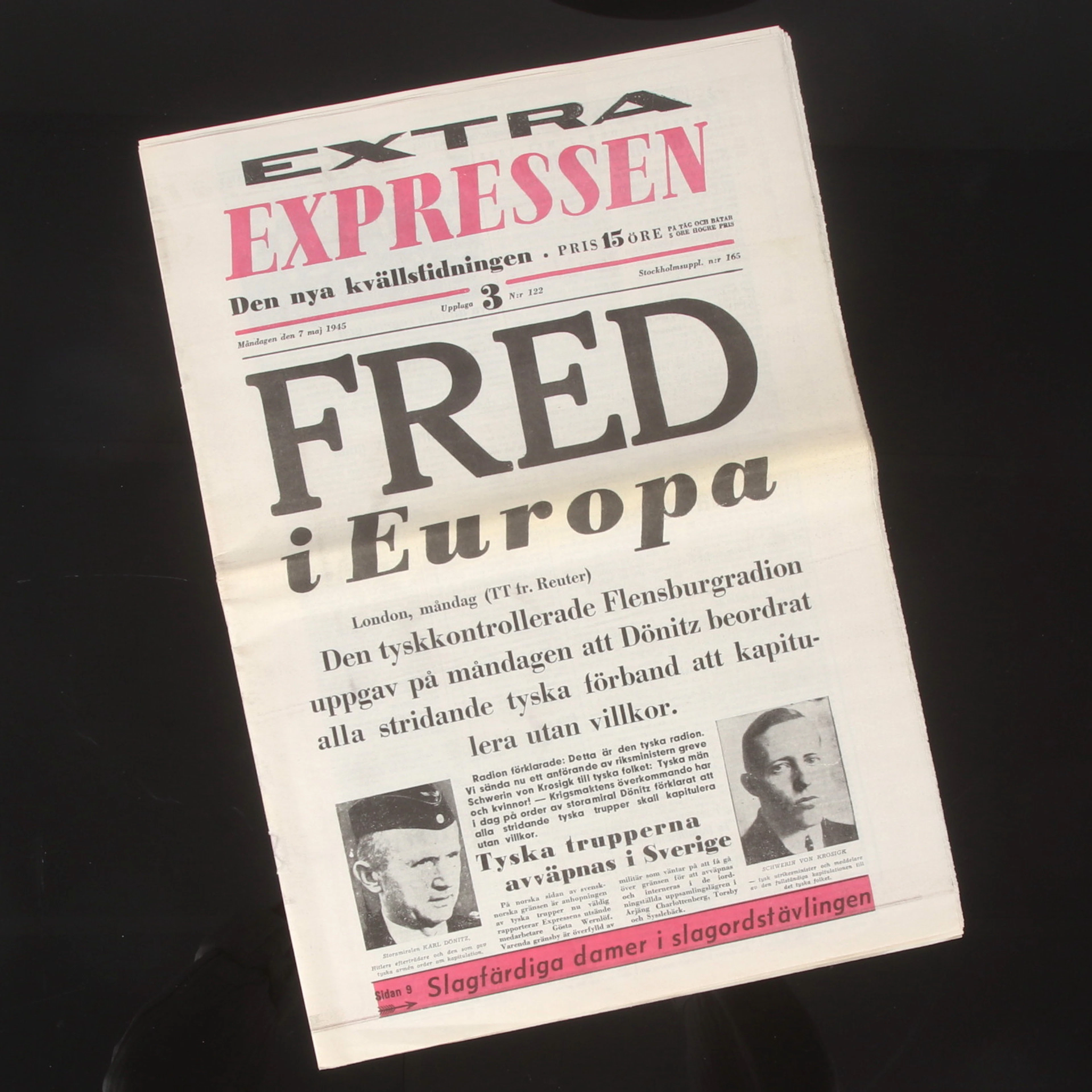
TIDNING, Expressen, "Fred i Europa", 7 maj 1945.
10/14/2026
£49.2
Est: £37.85

LITTERATUR, tema urmakeri och klockor, 1900-tal.
10/14/2026
£83.27
Est: £113.55
OCT 23 | 8:00 AM


OCT 27 | 4:00 PM


OCT 17 | 10:00 PM
Bring your auction to collectors worldwide!
Get listed nowBy subscribing, you are agreeing to the privacy policy. Unsubscribe anytime.
Barnebys HQ
Brahegatan 10
BOX 5038
114 37 Stockholm
