






OCT 17 | 10:00 PM

All auctions / Books, Maps & Manuscripts / Italy - Topographic survey of the territory of the island...

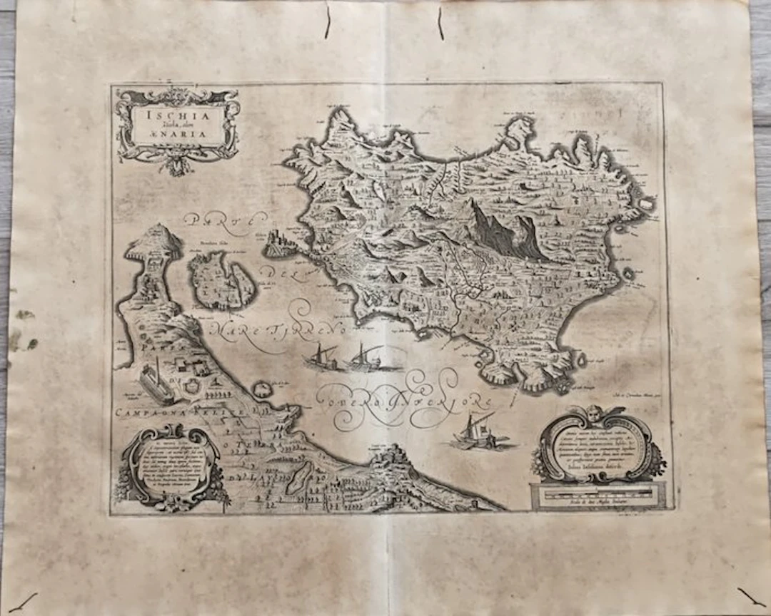
Type: Copper engraving, finished with a burin Support: Hand-made watermarked paper; when viewed against the light you can see the typical fine vertical and horizontal lines (vergelle e filoni) and the related watermark. Condition: Excellent inking impression, good state of preservation with slight traces of foxing and browning; the paper shows widespread and natural browning of age, small vertical tear near the editorial fold without losses, signs of woodworm outside the engraving, all as shown in the photo; Shipping: Insured shipping via Bartolini/DPD courier. To take advantage of the insurance coverage, any damage to the work must be disputed and reported to the courier at the time of delivery. Otherwise, it will not be possible to activate the insurance reimbursement procedure; Provenance: From a private collection; Guiljelmus Blaeu (Latinized form of Willem Janszoon Blaeu, 1571–1638) was a renowned Dutch cartographer and astronomer, founder of one of the most important cartographic print houses in Europe in Amsterdam.
Estimate:£168.63
To the auctionView all items fromCatawikiorBooks, Maps & Manuscripts
Estimate:
£168.63
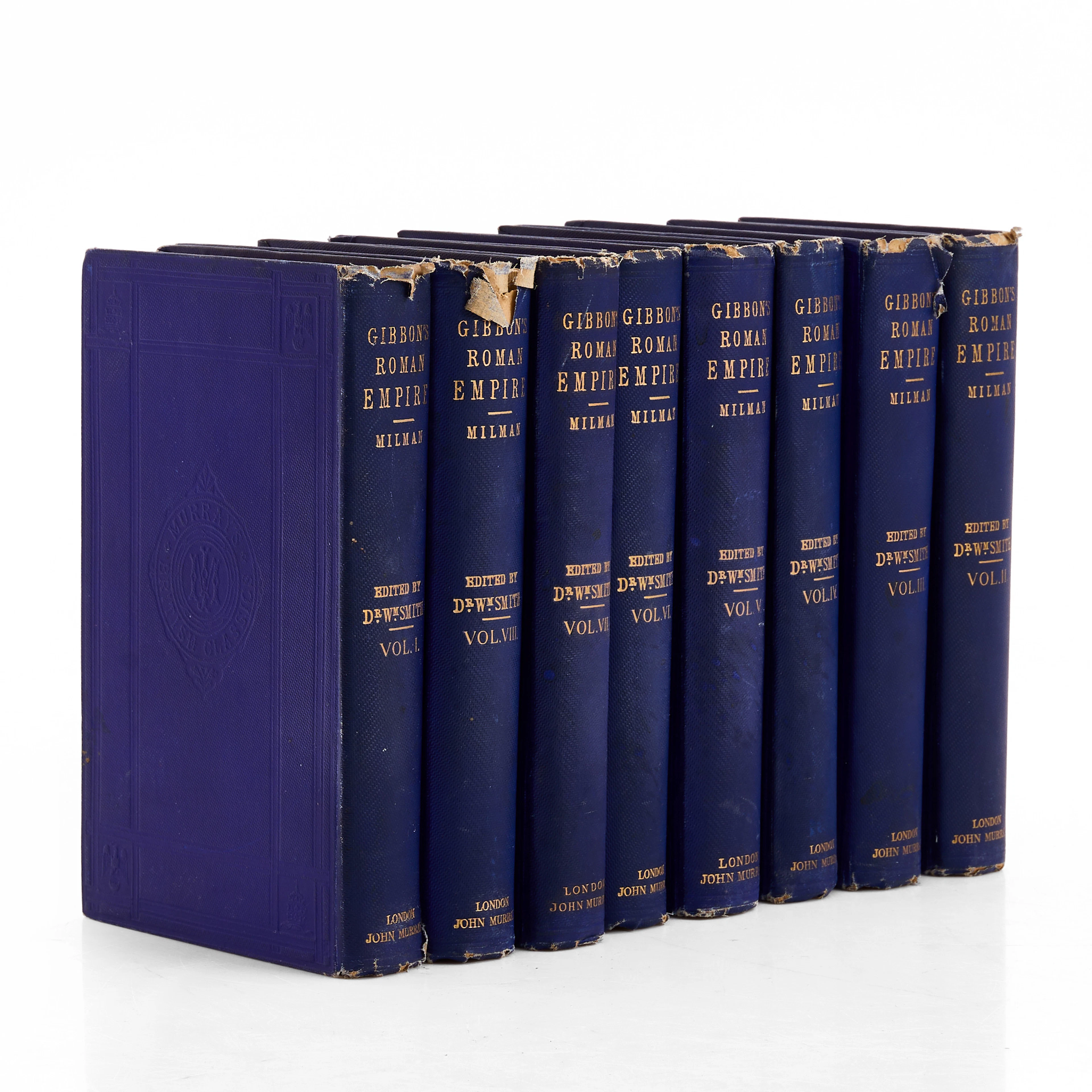

VYKORTSSAMLING - SVENSKA KUNGLIGHETER. GUSTAF V, OSCAR II M.FL. I
10/15/2026
£45.41
Est: £75.69
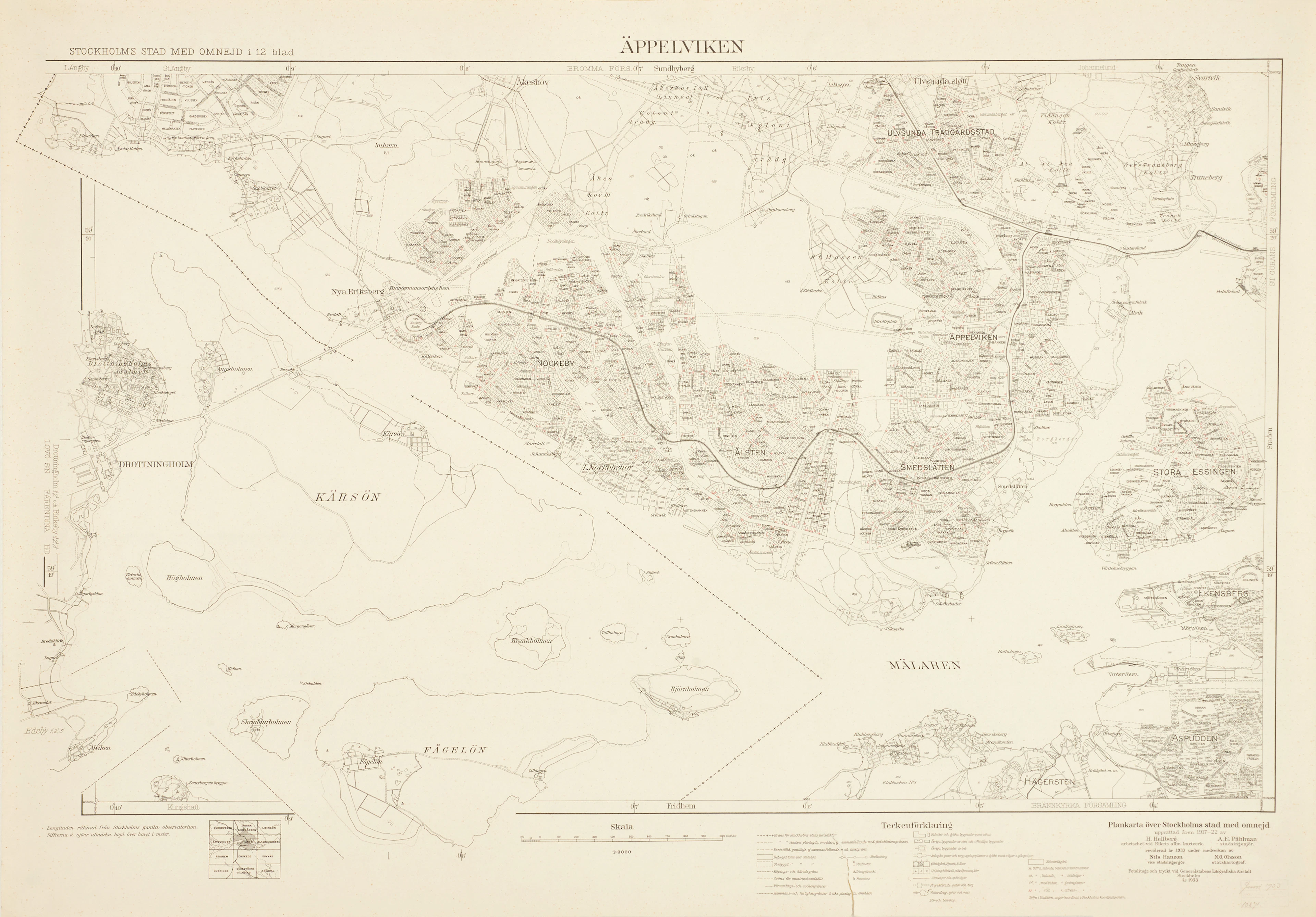
ÄPPELVIKEN, Plankarta över Stockholms Stad med omnejd, 1933, fotolitogr.
10/15/2026
£83.26
Est: £75.69
OCT 17 | 10:00 PM




OCT 23 | 8:00 AM
Bring your auction to collectors worldwide!
Get listed nowBy subscribing, you are agreeing to the privacy policy. Unsubscribe anytime.
Barnebys HQ
Brahegatan 10
BOX 5038
114 37 Stockholm
