




Bring your auction to collectors worldwide!
Get listed nowBy subscribing, you are agreeing to the privacy policy. Unsubscribe anytime.
Barnebys HQ
Brahegatan 10
BOX 5038
114 37 Stockholm
All auctions / Medals, Arms & Armour / Maps of England

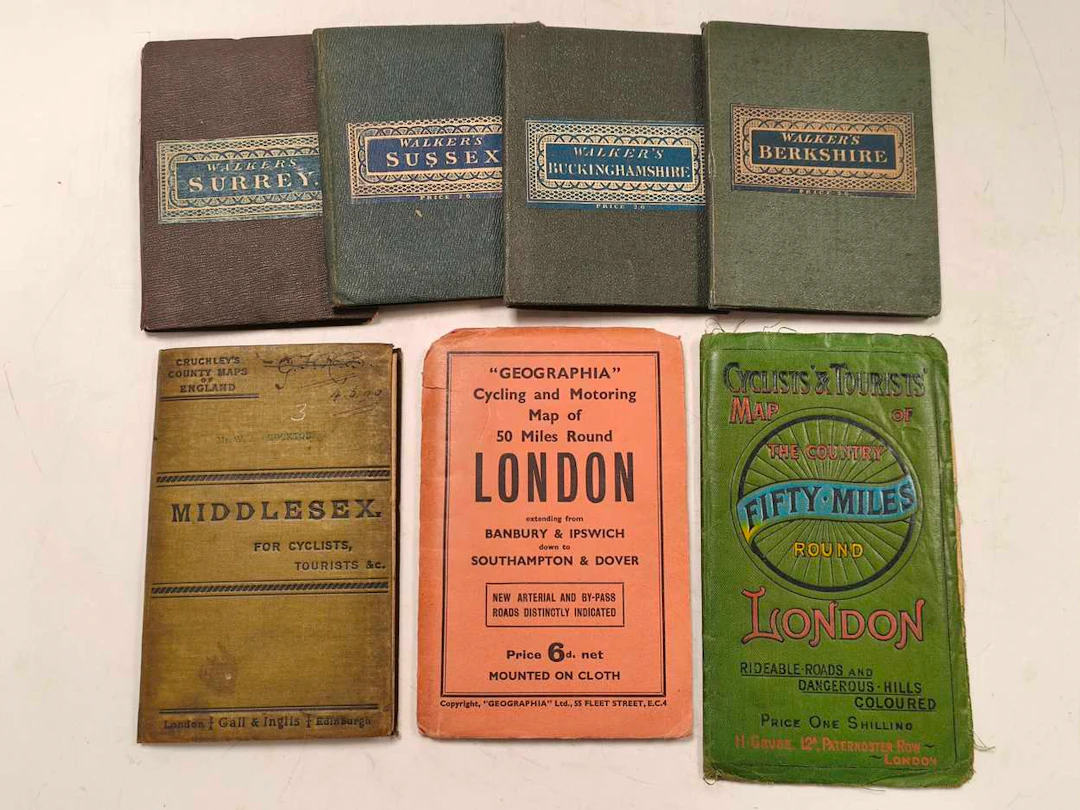
Cary's Reduction of His Six Sheet Map of the British Isles, Cary's Reduction of His Six Sheet Map of the British Isles... Drawn from the Most Recent Surveys, London: J. Cary, 1828, hand-coloured, 42 cloth-backed panels, bound in cloth with matching slip case, 97.5 x 126cm; Walker's County Maps: Sussex, Surrey, Berkshire, Buckinghamshire, London: Longman and Co., and J. & C. Walker, 1835-1836, 15 cloth-backed panels, hand-coloured, original cloth with paper label, 41 x 34cm; Cruchley's County Maps of England: Middlesex. For Cyclists, Tourists &c., London and Edinburgh: Gail & Inglis, folding cloth-backed, hand-coloured, inscribed and stamped cover, cloth 57.5 x 51cm; Cyclists' & Tourists' Map of the Country Fifty Miles Round London, revised edition, London: H. Grube, original green cloth, 61 x 75.5cm, plus 7 other tourist guides (14), Walker's County Maps, Cruchley's County Maps of England, Cyclists' & Tourists' Map of the Country Fifty Miles Round London, Please register to request a condition report
Estimate:£100
To the auctionView all items fromCheffinsorMedals, Arms & Armour
Estimate:
£100
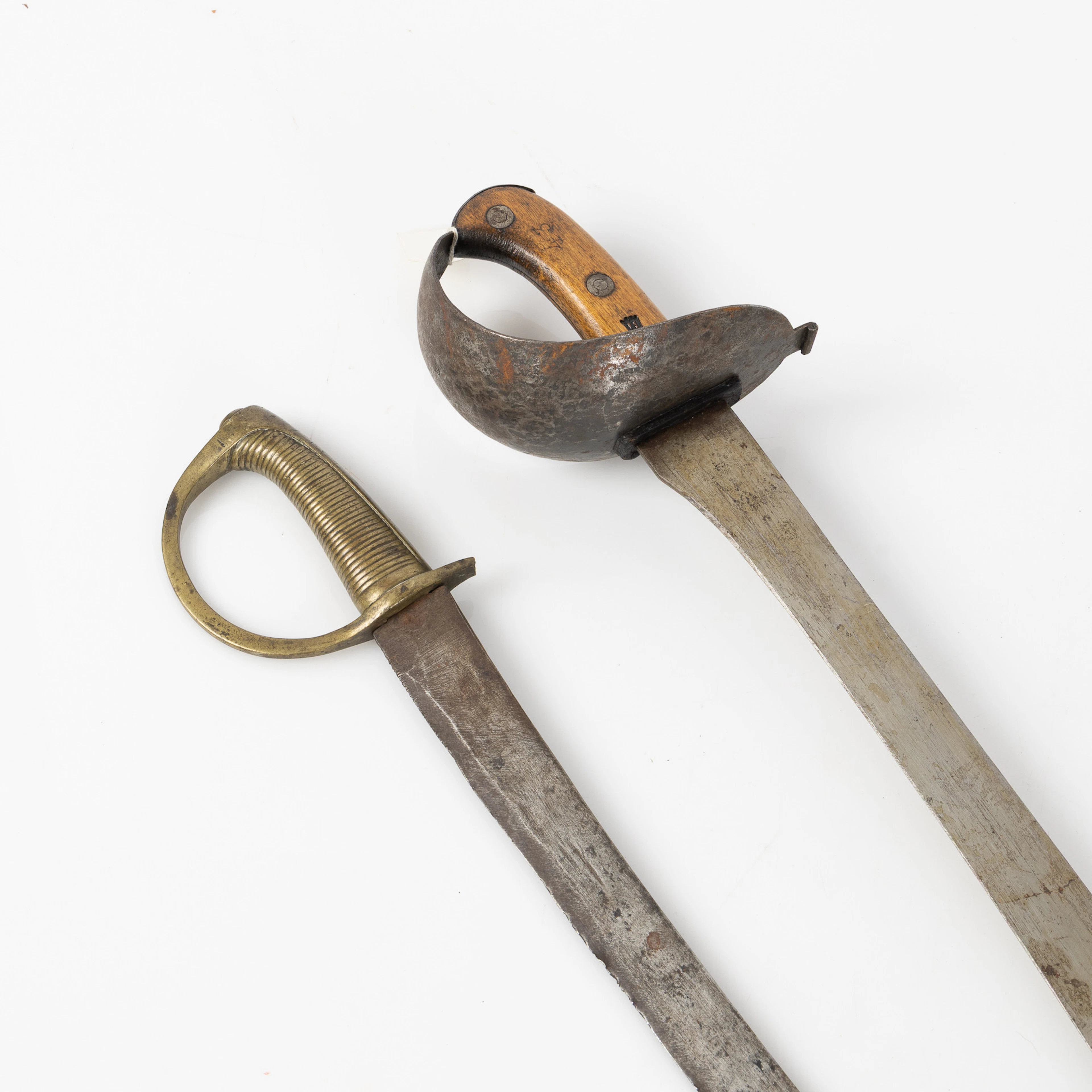
HUGGARE, två st, bland annat m/1851, GE Svalling Rosenfors, 1800-tal.
09/28/2026
£152.64
Est: £190.23
Bring your auction to collectors worldwide!
Get listed now
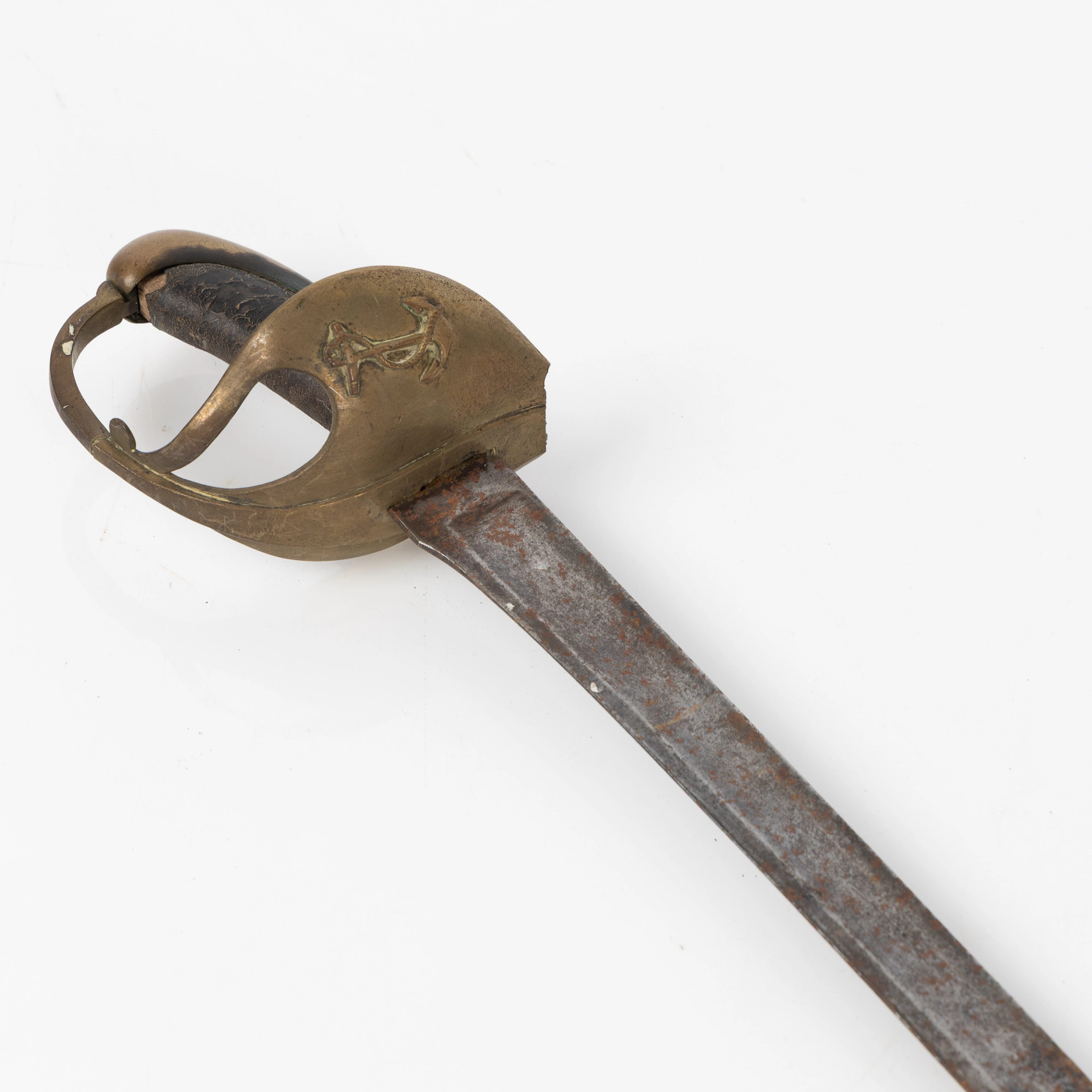
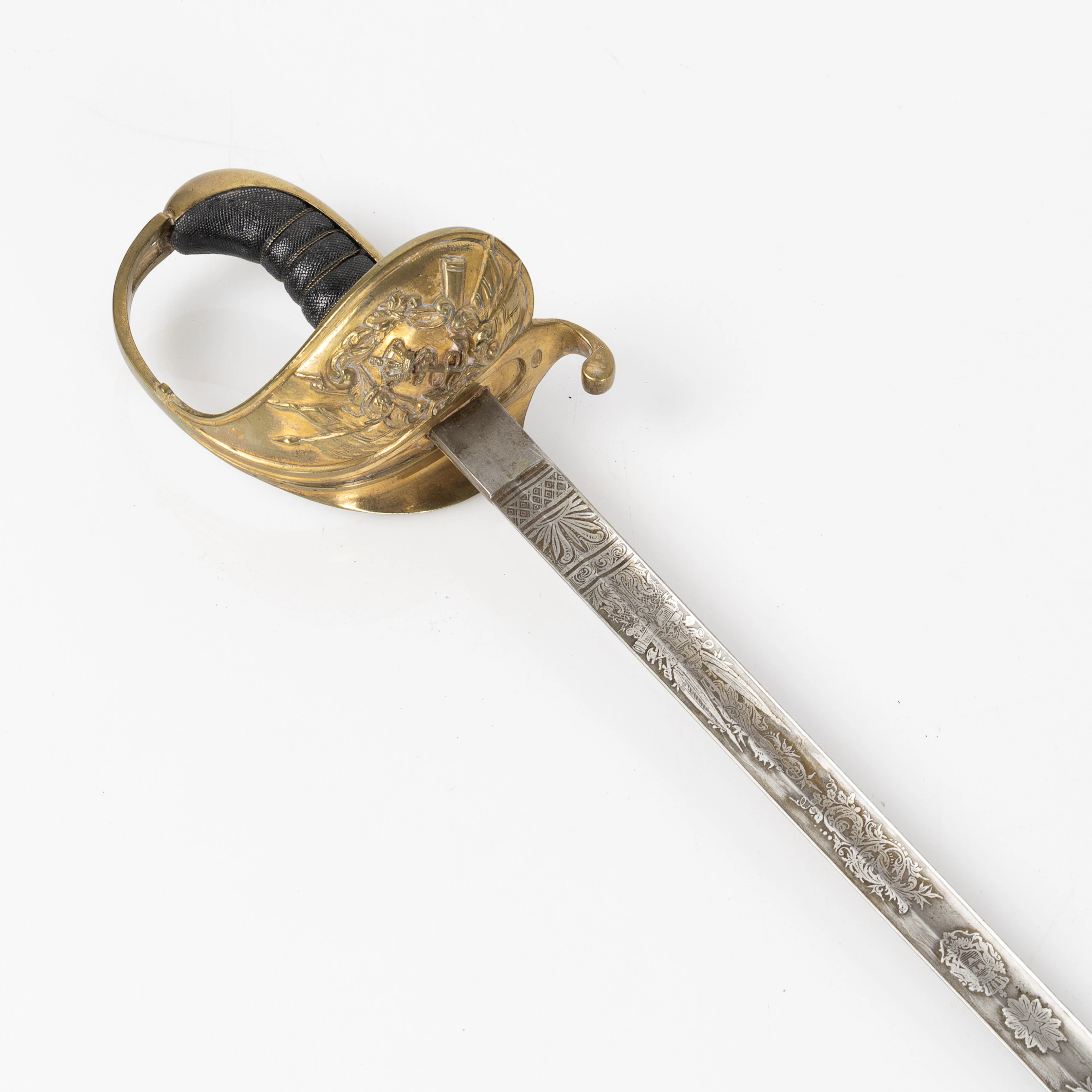
SABEL, m/1878, för flottan/underofficer, balja av läder, Sverige.
09/28/2026
£226.13
Est: £304.38