






OCT 17 | 10:00 PM

All auctions / Books, Maps & Manuscripts / Netherlands - Netherlands; Antoni de Winter - Paire de...

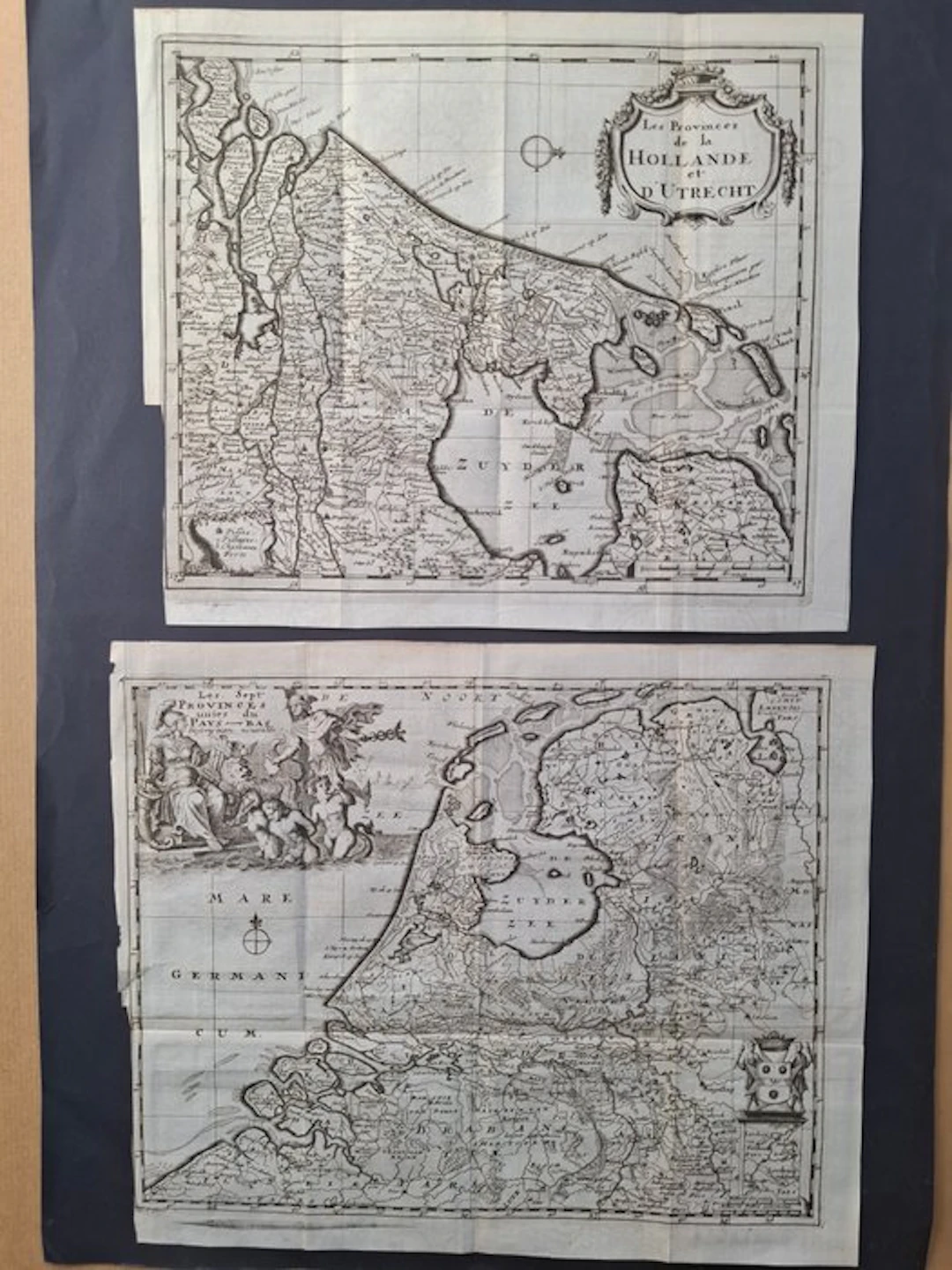
A unique lot consisting of two ancient geographical maps, printed in the Netherlands (estimated period: 1690-1710). These copies are in their first printing state with no editorial numbering in the upper corner. The absence of numbers certifies that this is an early print from the period. AUTHOR AND ENGRAVER: the famous Dutch master Antoni de Winter. TECHNIQUE: intaglio (etching) and burin on contemporaneous laid paper. The slight differences in paper thickness and trim of the sheets testify to the manual and authentic production of each support. DETAILS OF THE LOT: 1."Les Provinces del la Hollande et d'Utrecht": regional map centered on the historic provinces of Holland and Utrecht, oriented with North to the right. Sheet size: 27x23 cm Condition: EXCELLENT 2."Les Sept Provinces Unies du Pays-Bas": general map of the Republic of the Seven United Provinces. Adorned at the top left with a magnificent allegorical cartouche featuring marine deities and classical ornaments. Sheet size: 29x24 cm Condition: GOOD. A slight imperfection is visible on the left edge of the map.
Estimate:£126.72
To the auctionView all items fromCatawikiorBooks, Maps & Manuscripts
Estimate:
£126.72
VYKORTSSAMLING - SVENSKA KUNGLIGHETER. GUSTAF V, OSCAR II M.FL. I
10/15/2026
£45.41
Est: £75.69
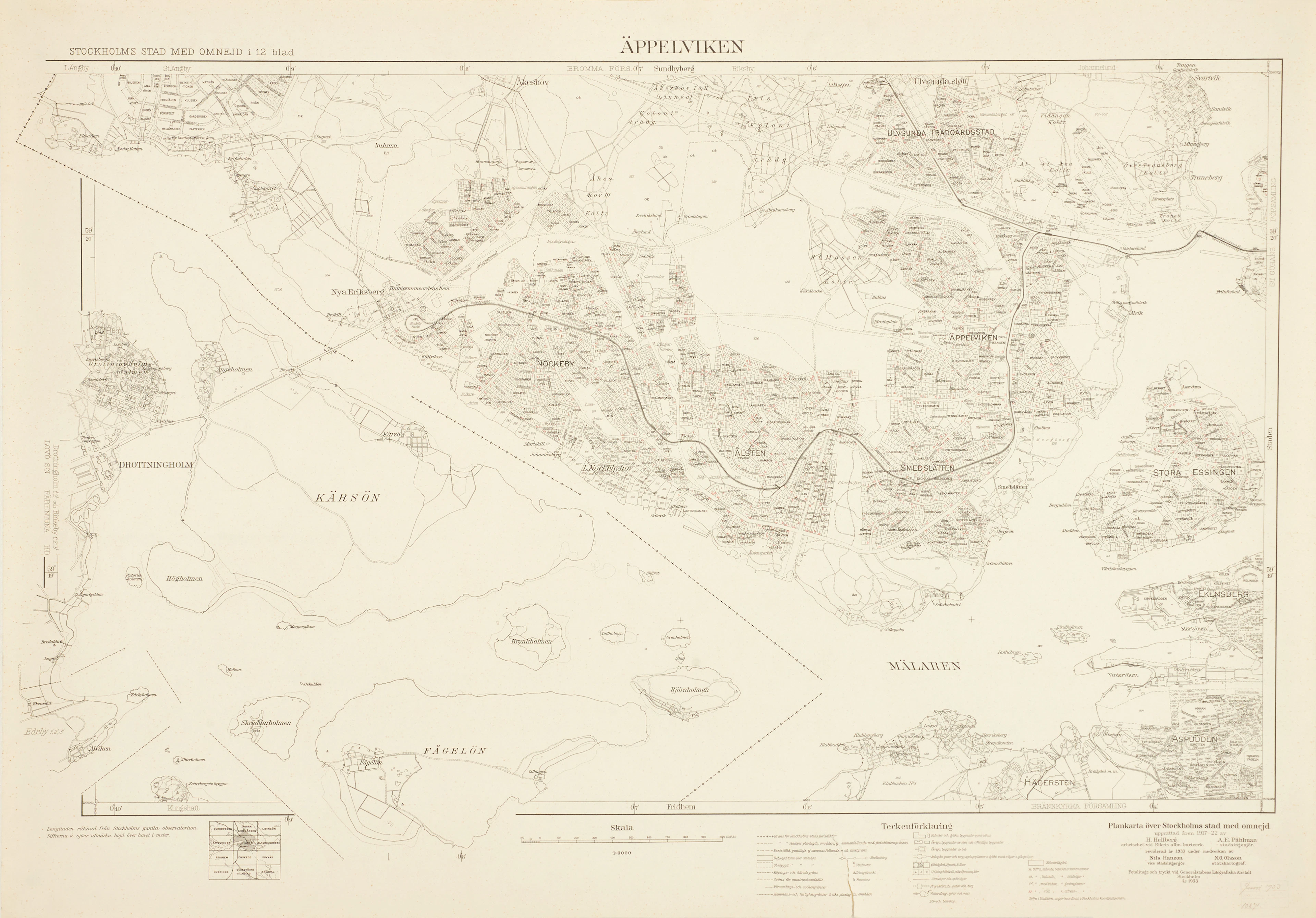
ÄPPELVIKEN, Plankarta över Stockholms Stad med omnejd, 1933, fotolitogr.
10/15/2026
£83.26
Est: £75.69
OCT 17 | 10:00 PM




OCT 23 | 8:00 AM
Bring your auction to collectors worldwide!
Get listed nowBy subscribing, you are agreeing to the privacy policy. Unsubscribe anytime.
Barnebys HQ
Brahegatan 10
BOX 5038
114 37 Stockholm
