



OCT 23 | 8:00 AM

All auctions / Books, Maps & Manuscripts / Poland - Northern Poland

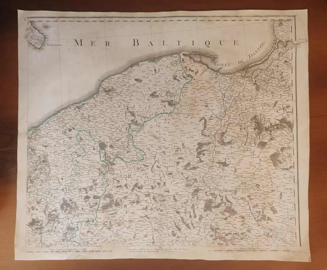
Grand and spectacular historical map of northern Poland and the Baltic coast, focused on the Pomerania, Gdańsk (Danzig) region and East Prussia. This imposing copperplate engraving with extremely high topographic density was originally drawn by the French military engineer captain Jean-Baptiste Chauchard (1739–1802) on the basis of exact on-site surveys and published in London by the renowned publisher John Stockdale (1750–1814) in June 1800. The sheet, marked with the Roman numeral III in the upper left corner, remarkably describes the geopolitical configuration of Central-Eastern Europe during the Napoleonic era. The map includes the island of Bornholm to the north, the Bay of Gdańsk (Danzig) to the east, and the intricate network of forests, hilly terrain and settlements that characterized the historical routes of communication and the Prussian and Polish fortifications of the period. The interior of the sheet is enriched by a delicate and elegant contemporary watercolour highlighting the main borders and waterways, while at the bottom left there is a fine royal heraldic coat of arms incised. An exceptionally valuable cartographic work for documentary and aesthetic reasons, printed on sturdy period laid paper, ideal for enriching elite collections dedicated to military cartography of the Napoleonic era and the history of the Baltic region. Dimensions 65 x 75 cm Will be shipped by courier
Estimate:£3.35
To the auctionView all items fromCatawikiorBooks, Maps & Manuscripts
Estimate:
£3.35
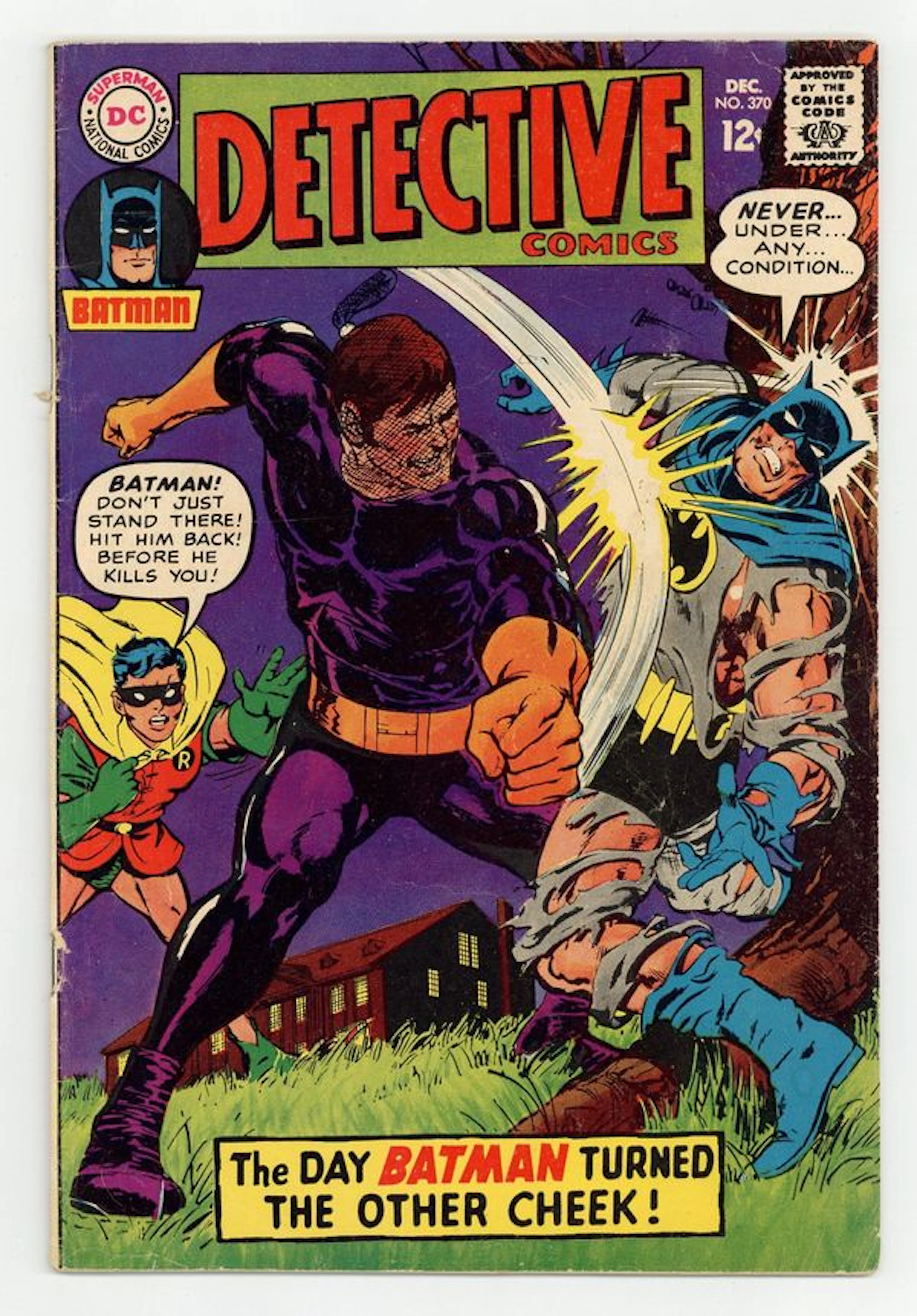
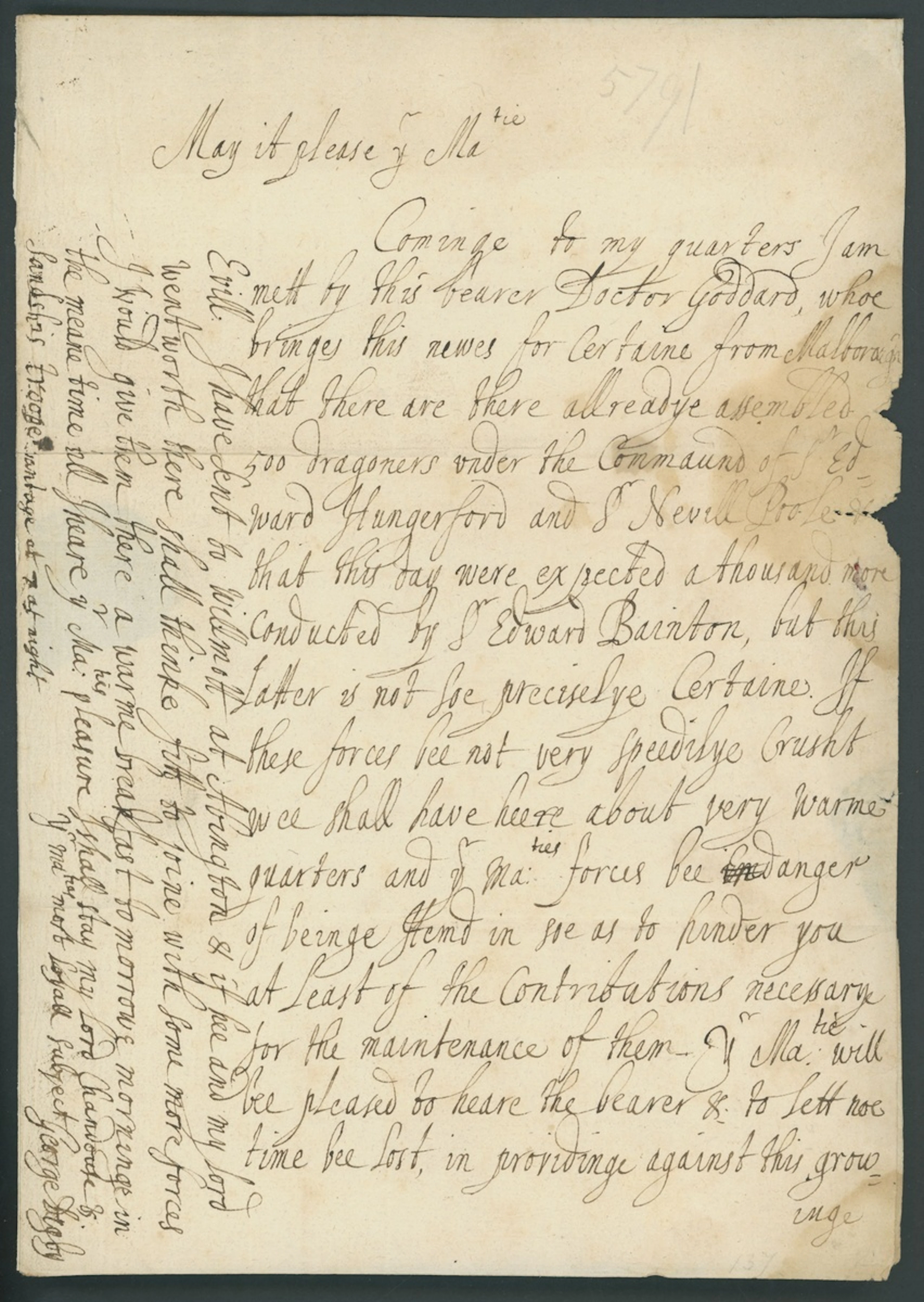
Letters from George Digby to Prince Rupert - Secret Cipher 1642-44
09/24/2026
£3,000
Est: £2,500
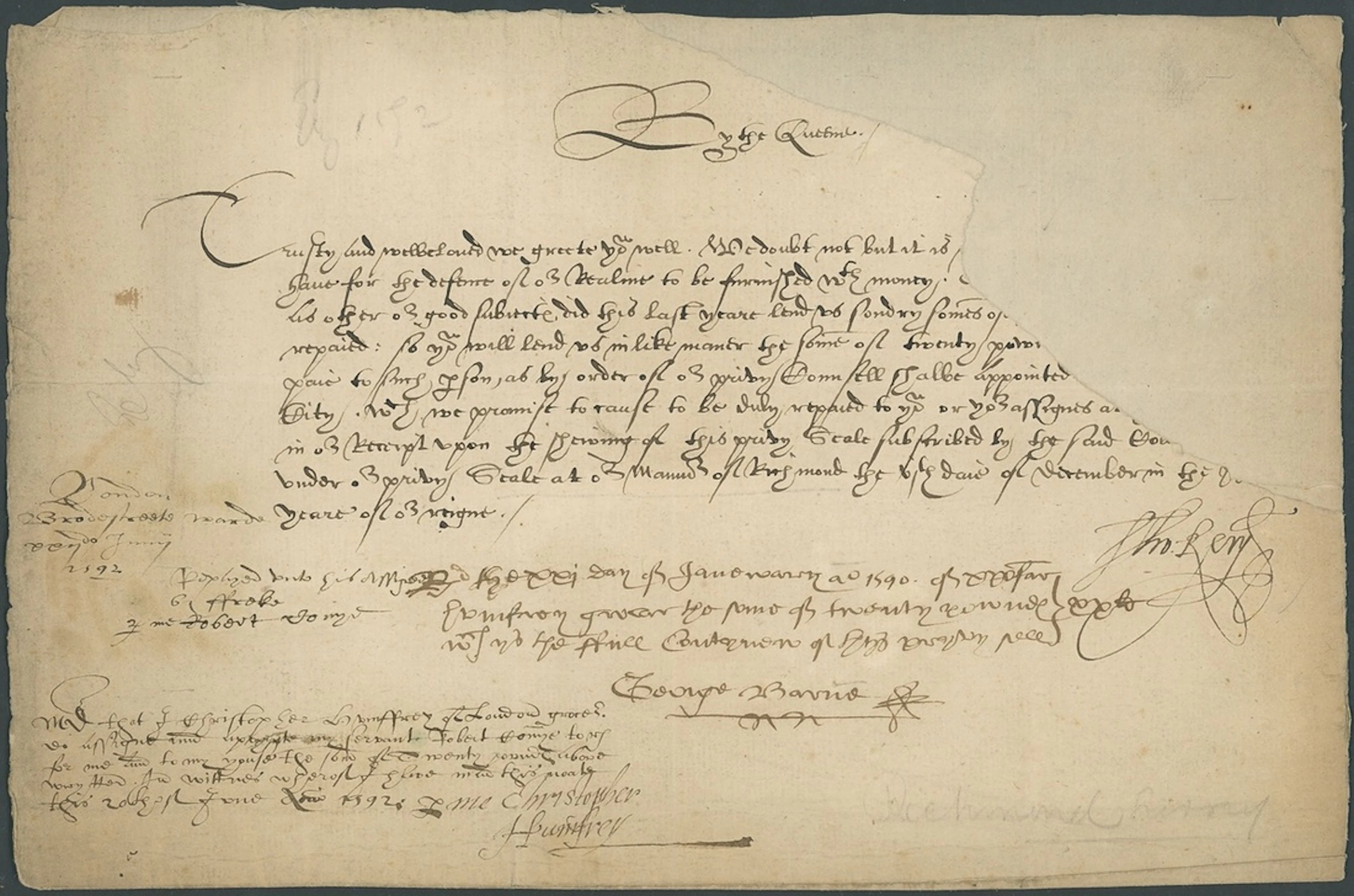
England Forced Loans 1590s A group of three Elizabethan forced loans
09/24/2026
£3,400
Est: £500
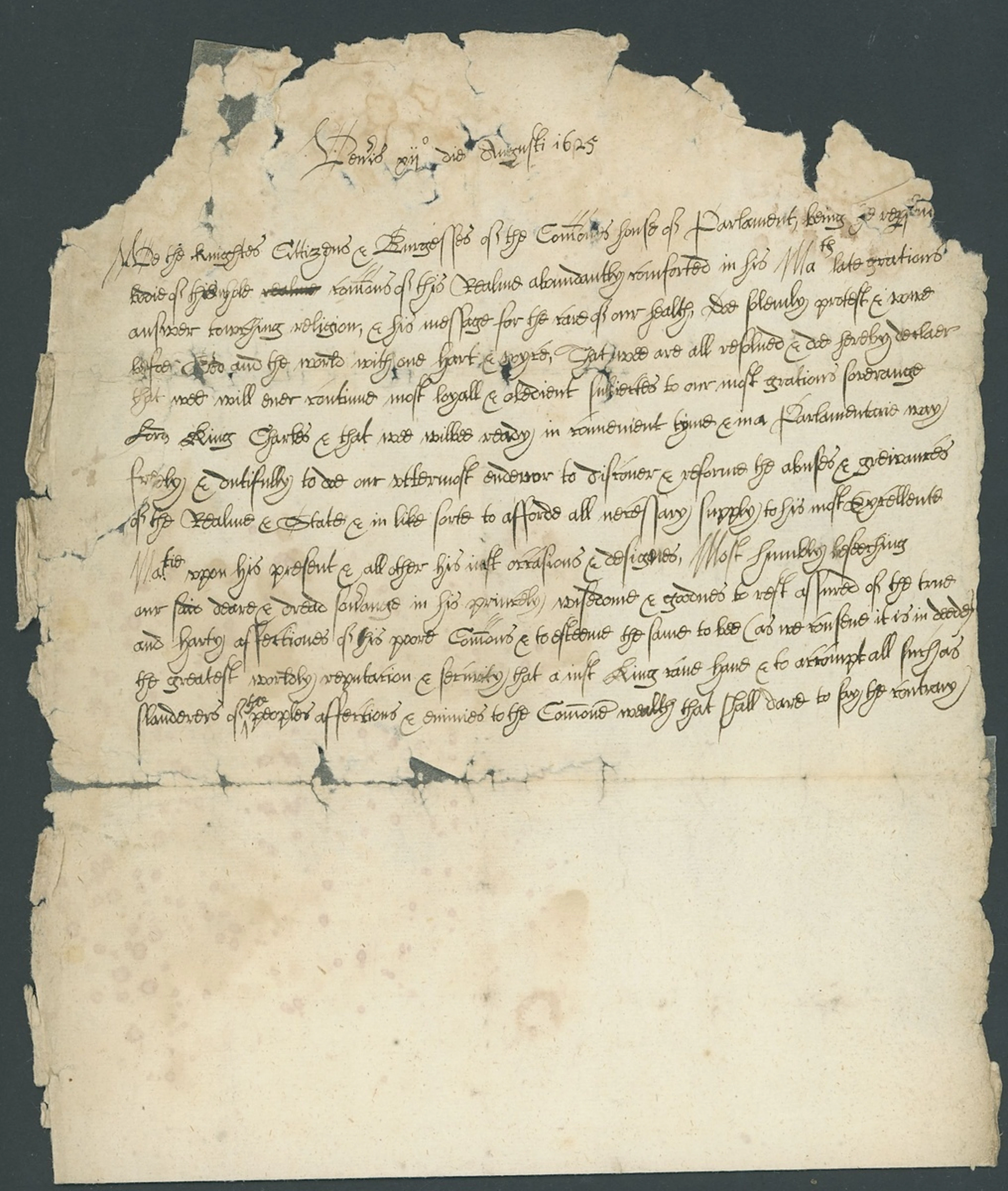
England English Civil War 1625 protestation from the House of Commons
09/24/2026
£200
Est: £250
OCT 23 | 8:00 AM




OCT 27 | 4:00 PM
Bring your auction to collectors worldwide!
Get listed nowBy subscribing, you are agreeing to the privacy policy. Unsubscribe anytime.
Barnebys HQ
Brahegatan 10
BOX 5038
114 37 Stockholm
